File:Chile Los Lagos location map.svg

Size of this PNG preview of this SVG file: 568 × 599 pixels. Other resolutions: 227 × 240 pixels | 455 × 480 pixels | 728 × 768 pixels | 971 × 1,024 pixels | 1,941 × 2,048 pixels | 1,419 × 1,497 pixels.
Original file (SVG file, nominally 1,419 × 1,497 pixels, file size: 694 KB)
Captions
Captions
Add a one-line explanation of what this file represents
Summary
edit| Description |
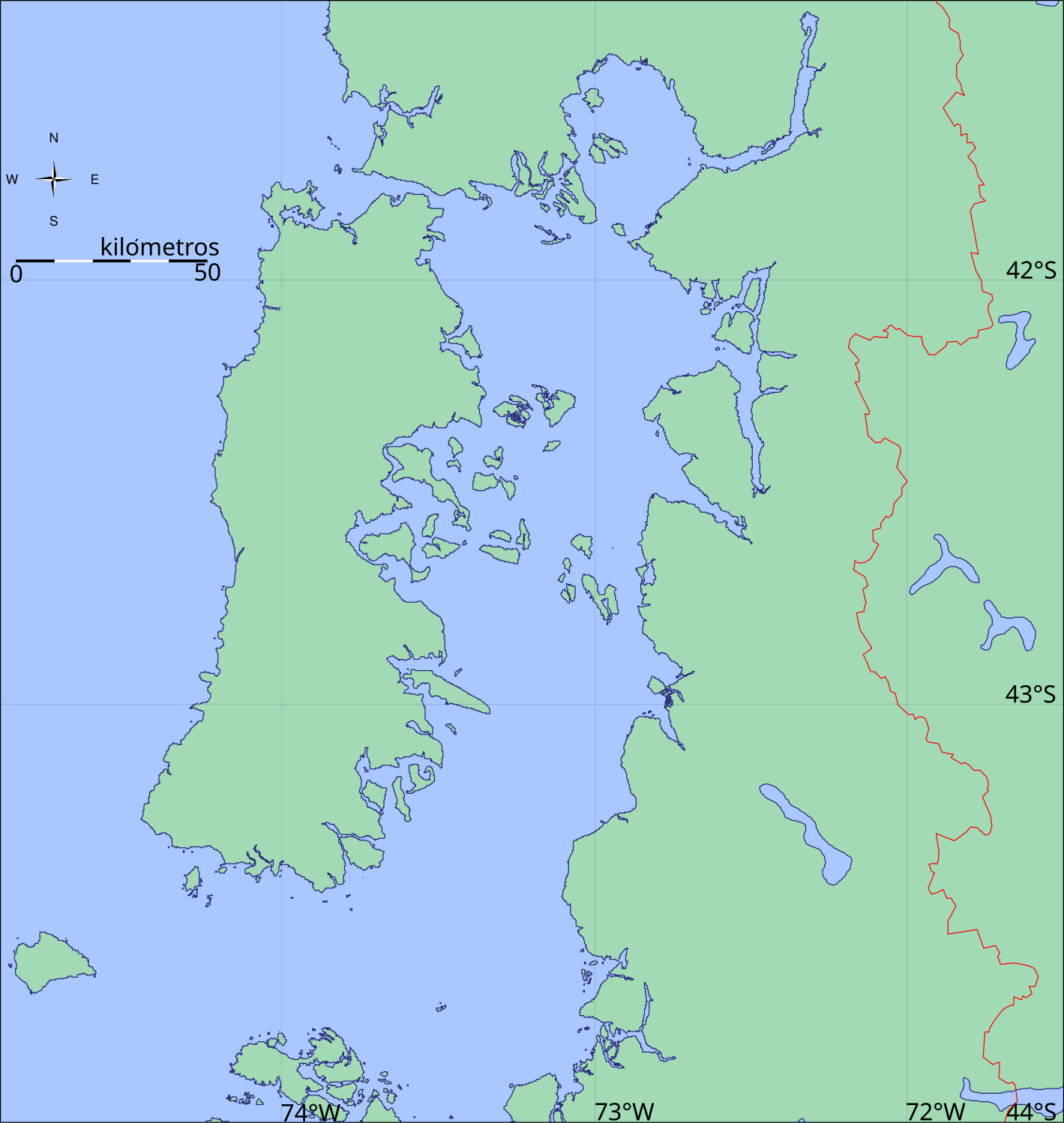
Deutsch: Positionskarte von de:Los Lagos Region und Umgebung
Quadratische Plattkarte, N-S-Streckung 160 %. Geographische Begrenzung der Karte:
English: Location map of en:Los Lagos Region and surroundings
Equirectangular projection, N/S stretching 160 %. Geographic limits of the map:
|
|||||||
| Date | ||||||||
| Source |
Own work Generic Mapping Tools |
|||||||
| Author | Createaccount | |||||||
| Permission (Reusing this file) |
|

Licensing
edit
I, the copyright holder of this work, hereby publish it under the following license:
This file is licensed under the Creative Commons Attribution-Share Alike 2.5 Generic license.
- You are free:
- to share – to copy, distribute and transmit the work
- to remix – to adapt the work
- Under the following conditions:
- attribution – You must give appropriate credit, provide a link to the license, and indicate if changes were made. You may do so in any reasonable manner, but not in any way that suggests the licensor endorses you or your use.
- share alike – If you remix, transform, or build upon the material, you must distribute your contributions under the same or compatible license as the original.
Original upload log
edit
File history
Click on a date/time to view the file as it appeared at that time.
| Date/Time | Thumbnail | Dimensions | User | Comment | |
|---|---|---|---|---|---|
| current | 19:22, 25 June 2016 | | 1,419 × 1,497 (694 KB) | Janitoalevic (talk | contribs) | Fixed borders. |
| 17:56, 27 April 2013 |  | 1,419 × 1,497 (696 KB) | Keysanger (talk | contribs) | xx | |
| 18:48, 12 February 2013 |  | 400 × 600 (222 KB) | Keysanger (talk | contribs) | == {{int:filedesc}} == {{Information |Description={{es|Mapa de la X Región de Los Lagos}} |Source={{Derived from|X_Los_Lagos.svg|display=50}} |Date=2013-02-12 18:46 (UTC) |Author=*File:X_Los_Lagos.svg: [[User:B1mbo... |
You cannot overwrite this file.
File usage on Commons
The following page uses this file:
File usage on other wikis
The following other wikis use this file:
- Usage on ar.wikipedia.org
- Usage on ceb.wikipedia.org
- Usage on es.wikipedia.org
- Usage on fa.wikipedia.org
- Usage on kn.wikipedia.org
- Usage on ms.wikipedia.org
- Usage on tr.wikipedia.org
- Usage on war.wikipedia.org