File:Colorado-Kansas border along U.S. Route 40 (101371156).jpg

Original file (1,600 × 1,200 pixels, file size: 612 KB, MIME type: image/jpeg)
Captions
Captions
Summary
edit.jpg&action=edit§ion=1)
| Description |
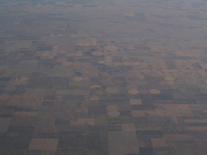
Kansas is a U.S. state located in the Midwestern United States. It is named after the Kansa Native American tribe, which inhabited the area. The tribe's name is often said to mean "people of the wind" or "people of the south wind," although this was probably not the term's original meaning. Residents of Kansas are called "Kansans." For thousands of years what is now Kansas was home to numerous and diverse Native American tribes. Tribes in the Eastern part of the state generally lived in villages along the river valleys. Tribes in the Western part of the state were semi-nomadic and hunted large herds of bison. Kansas was first settled by European Americans in the 1830s, but the pace of settlement accelerated in the 1850s, in the midst of political wars over the slavery issue. When it was officially opened to settlement by the U.S. government in 1854, abolitionist Free-Staters from New England and pro-slavery settlers from neighboring Missouri rushed to the territory to determine if Kansas would become a free state or a slave state. Thus, the area was a hotbed of violence and chaos in its early days as these forces collided, and was known as Bleeding Kansas. The abolitionists eventually prevailed and on January 29, 1861, Kansas entered the Union as a free state. After the Civil War, the population of Kansas grew rapidly, when waves of immigrants turned the prairie into farmland. Today, Kansas is one of the most productive agricultural states, producing high yields of wheat, sorghum, and sunflowers. Kansas is the 15th most extensive and the 34th most populous of the 50 United States. en.wikipedia.org/wiki/Wikipedia:Text_of_Creative_Commons_... |
| Date | |
| Source | Colorado-Kansas border along U.S. Route 40 |
| Author | Ken Lund from Reno, Nevada, USA |
| Camera location | | View this and other nearby images on: OpenStreetMap |
|---|
.jpg¶ms=038.865241_N_-102.045993_E_globe:Earth_type:camera_source:Flickr_&language=en)
Licensing
edit.jpg&action=edit§ion=2)
- You are free:
- to share – to copy, distribute and transmit the work
- to remix – to adapt the work
- Under the following conditions:
- attribution – You must give appropriate credit, provide a link to the license, and indicate if changes were made. You may do so in any reasonable manner, but not in any way that suggests the licensor endorses you or your use.
- share alike – If you remix, transform, or build upon the material, you must distribute your contributions under the same or compatible license as the original.
| This image was originally posted to Flickr by Ken Lund at https://flickr.com/photos/75683070@N00/101371156. It was reviewed on 3 December 2015 by FlickreviewR and was confirmed to be licensed under the terms of the cc-by-sa-2.0. |
File history
Click on a date/time to view the file as it appeared at that time.
| Date/Time | Thumbnail | Dimensions | User | Comment | |
|---|---|---|---|---|---|
| current | 21:45, 3 December 2015 | | 1,600 × 1,200 (612 KB) | INeverCry (talk | contribs) | Transferred from Flickr via Flickr2Commons |
You cannot overwrite this file.
File usage on Commons
There are no pages that use this file.
.jpg&oldid=889596082)