File:Dobra, kriz 01.jpg
Size of this preview: 450 × 600 pixels. Other resolutions: 180 × 240 pixels | 360 × 480 pixels | 576 × 768 pixels | 768 × 1,024 pixels | 2,052 × 2,736 pixels.
Original file (2,052 × 2,736 pixels, file size: 1.73 MB, MIME type: image/jpeg)
Captions
Captions
Add a one-line explanation of what this file represents
Summary edit
| Description |
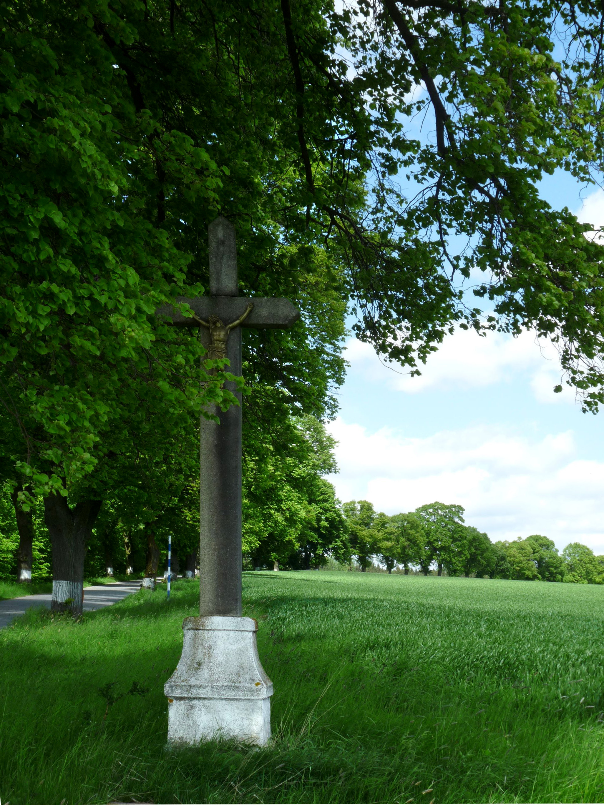
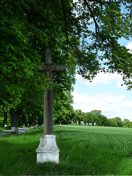
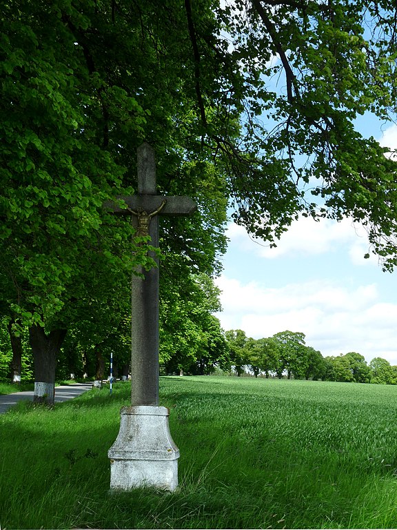
Čeština: Křížek u silnice II/351 (PS č. 105458dle AOPK) mezi vesmi Žižkovo Pole, okres Havlíčkův Brod, kraj Vysočina.
English: Wayside cross between the villages of Žižkovo Pole and Dobrá, Havlíčkův Brod District, Vysočina Region, Czech Republic.
|
||||
| Date | |||||
| Source | Own work | ||||
| Author | Czeva |
Licensing edit
I, the copyright holder of this work, hereby publish it under the following license:
This file is licensed under the Creative Commons Attribution-Share Alike 3.0 Unported license.
- You are free:
- to share – to copy, distribute and transmit the work
- to remix – to adapt the work
- Under the following conditions:
- attribution – You must give appropriate credit, provide a link to the license, and indicate if changes were made. You may do so in any reasonable manner, but not in any way that suggests the licensor endorses you or your use.
- share alike – If you remix, transform, or build upon the material, you must distribute your contributions under the same or compatible license as the original.
| This file was created as a part of the photographic program of Wikimedia Czech Republic. Project: Fotíme Česko The program supports Wikimedia Commons photographers in the Czech Republic. |
File history
Click on a date/time to view the file as it appeared at that time.
| Date/Time | Thumbnail | Dimensions | User | Comment | |
|---|---|---|---|---|---|
| current | 08:49, 13 May 2014 | | 2,052 × 2,736 (1.73 MB) | Czeva (talk | contribs) | VicuñaUploader 1.20 |
You cannot overwrite this file.
File usage on Commons
The following 2 pages use this file: