File:Dong Nai in Vietnam.svg

Size of this PNG preview of this SVG file: 306 × 599 pixels. Other resolutions: 122 × 240 pixels | 245 × 480 pixels | 392 × 768 pixels | 523 × 1,024 pixels | 1,046 × 2,048 pixels | 1,200 × 2,349 pixels.
Original file (SVG file, nominally 1,200 × 2,349 pixels, file size: 786 KB)
Captions
Captions
Add a one-line explanation of what this file represents
Summary
edit
| Description |
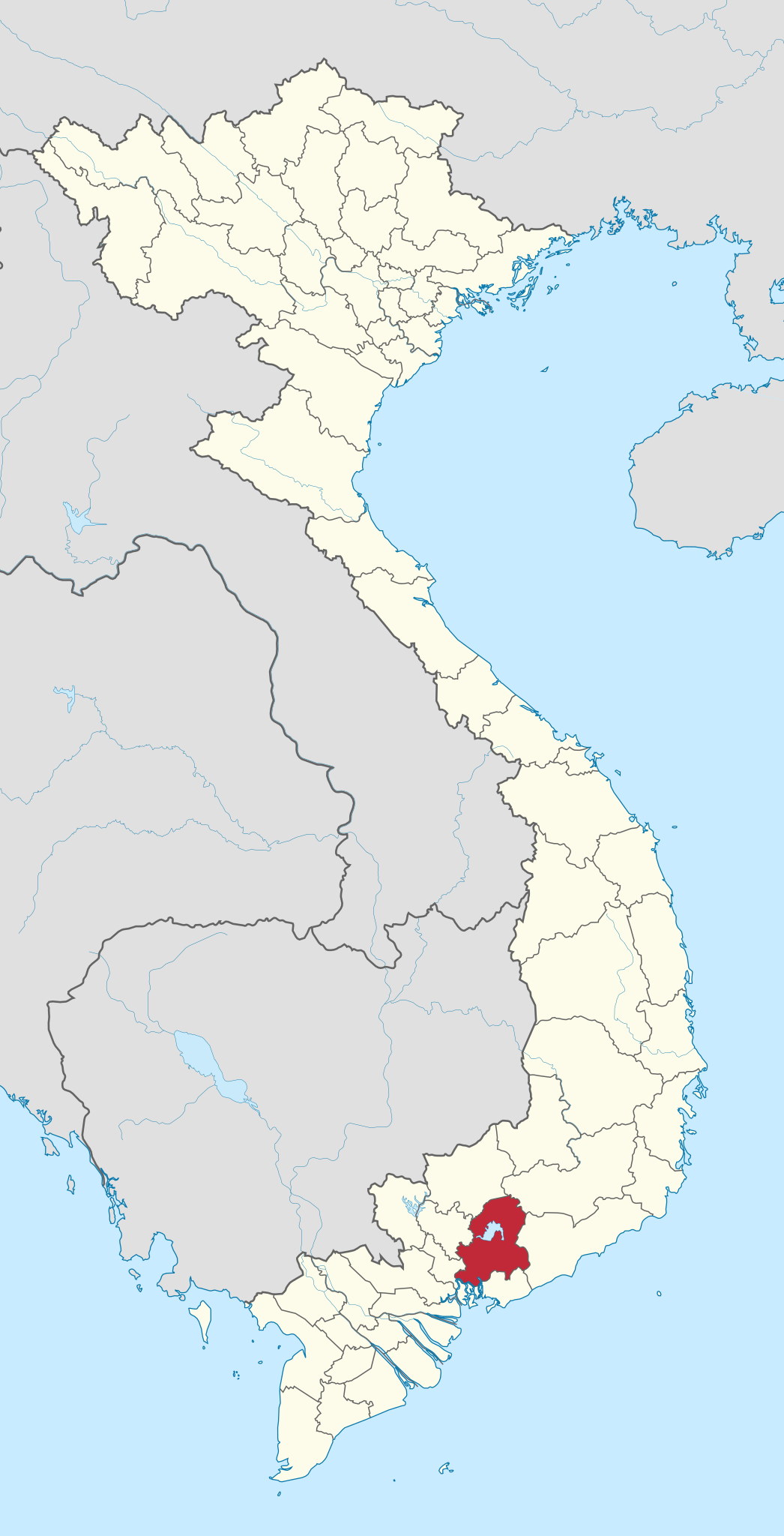
Deutsch: Lage der Provinz XY (siehe Dateiname) in Vietnam.
English: Location of province XY (see filename) in Vietnam. |
| Date | |
| Source | Own work |
| Author |
TUBS |
| Other versions |
|
| SVG development |
Licensing
edit
I, the copyright holder of this work, hereby publish it under the following licenses:
This file is licensed under the Creative Commons Attribution-Share Alike 3.0 Unported license.
- You are free:
- to share – to copy, distribute and transmit the work
- to remix – to adapt the work
- Under the following conditions:
- attribution – You must give appropriate credit, provide a link to the license, and indicate if changes were made. You may do so in any reasonable manner, but not in any way that suggests the licensor endorses you or your use.
- share alike – If you remix, transform, or build upon the material, you must distribute your contributions under the same or compatible license as the original.

|
Permission is granted to copy, distribute and/or modify this document under the terms of the GNU Free Documentation License, Version 1.2 or any later version published by the Free Software Foundation; with no Invariant Sections, no Front-Cover Texts, and no Back-Cover Texts. A copy of the license is included in the section entitled GNU Free Documentation License. |
You may select the license of your choice.

|
I'd greatly appreciate, that you attribute this media file to Wikimedia Commons, if used outside Wikipedia or Commons. For use in publications such as books, newspapers, blogs, websites, please insert here the following line:
|
File history
Click on a date/time to view the file as it appeared at that time.
| Date/Time | Thumbnail | Dimensions | User | Comment | |
|---|---|---|---|---|---|
| current | 10:38, 22 September 2013 | | 1,200 × 2,349 (786 KB) | TUBS (talk | contribs) | rv. don't match base location map design |
| 06:43, 11 April 2013 |  | 1,200 × 2,349 (512 KB) | Lưu Ly (talk | contribs) | +2 qdao | |
| 22:00, 23 January 2012 |  | 1,200 × 2,349 (786 KB) | TUBS (talk | contribs) | ||
| 19:42, 25 October 2011 |  | 1,200 × 2,349 (731 KB) | TUBS (talk | contribs) |
You cannot overwrite this file.
File usage on Commons
The following 4 pages use this file:
File usage on other wikis
The following other wikis use this file:
- Usage on ar.wikipedia.org
- Usage on azb.wikipedia.org
- Usage on cdo.wikipedia.org
- Usage on ceb.wikipedia.org
- Usage on cs.wikipedia.org
- Usage on de.wikipedia.org
- Usage on de.wikivoyage.org
- Usage on diq.wikipedia.org
- Usage on en.wikipedia.org
- Đồng Nai province
- Biên Hòa
- Đồng Nai River
- Long Bình, Biên Hòa
- Template:Dong Nai Province
- Tân Phú district, Đồng Nai
- Gia Ray
- Long Giao
- Hiệp Phước, Đồng Nai
- Dầu Giây
- Vĩnh An, Đồng Nai
- Wikipedia:WikiProject Vietnam/Provincial templates
- Long Thành (township in Đồng Nai)
- Định Quán
- Long Khánh
- Trảng Bom
- Category:Geography of Đồng Nai province
- Xuân Định
- Trị An Reservoir
- Trị An
- Phú Hội, Đồng Nai
- Văn Miếu Trấn Biên
- Tân Phú (township in Đồng Nai)
- Tà Lài
- An Bình, Biên Hòa
- An Hòa, Biên Hòa
- Bình Đa, Biên Hòa
- Bửu Hòa, Biên Hòa
- Bửu Long, Biên Hòa
- Hiệp Hòa, Biên Hòa
- Hóa An, Biên Hòa
- Hòa Bình, Biên Hòa
- Hố Nai, Biên Hòa
- Long Bình Tân, Biên Hòa
- Phước Tân, Biên Hòa
- Quang Vinh, Biên Hòa
- Quyết Thắng, Biên Hòa
- Tam Hiệp, Biên Hòa
- Tam Hòa, Biên Hòa
- Tam Phước, Biên Hòa
- Tân Biên, Biên Hòa
- Tân Hạnh, Biên Hòa
View more global usage of this file.