File:East-west alley from Sherbourne to Princess, south of King, 2013 09 13 (1)--(9).jpg

Size of this preview: 800 × 267 pixels. Other resolutions: 320 × 107 pixels | 640 × 213 pixels | 1,024 × 341 pixels | 1,280 × 426 pixels | 2,560 × 853 pixels | 7,134 × 2,377 pixels.
Original file (7,134 × 2,377 pixels, file size: 17.85 MB, MIME type: image/jpeg)
Captions
Captions
Add a one-line explanation of what this file represents
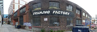
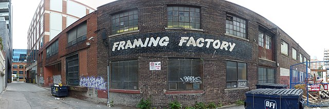
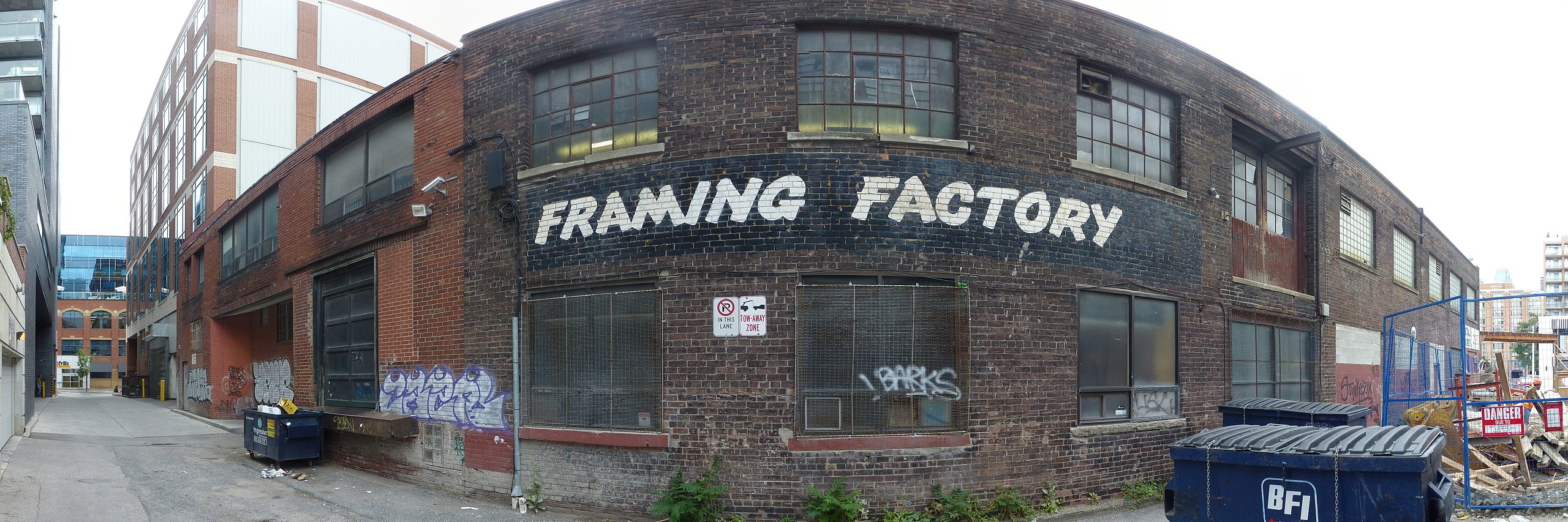
| Description | East-west alley from Sherbourne to Princess, south of King | ||
| Date | Taken on 13 September 2013 | ||
| Source | Own work | ||
| Author | Geo Swan (talk) | ||
| Permission (Reusing this file) |
|
| Camera location | | View this and other nearby images on: OpenStreetMap |
|---|
--(9).jpg¶ms=043.653078_N_-079.363578_E_globe:Earth_type:camera_source:exif_&language=en)
| Annotations | This image is annotated: View the annotations at Commons |
--(9).jpg)
File history
Click on a date/time to view the file as it appeared at that time.
| Date/Time | Thumbnail | Dimensions | User | Comment | |
|---|---|---|---|---|---|
| current | 14:35, 15 September 2013 | 7,134 × 2,377 (17.85 MB) | Geo Swan (talk | contribs) | {{Information |Description=East-west alley from Sherbourne to Princess, south of King | Source = {{own}} | Date = 2013-09-13 | Author = Geo Swan (<span class="signature-talk">talk</span>) | Perm... |
You cannot overwrite this file.
File usage on Commons
There are no pages that use this file.
--(9).jpg&oldid=590584324)