File:Edificio central del CSIC (Madrid) 01.jpg

Size of this preview: 800 × 600 pixels. Other resolutions: 320 × 240 pixels | 640 × 480 pixels | 1,024 × 768 pixels | 1,280 × 960 pixels | 2,560 × 1,920 pixels | 4,320 × 3,240 pixels.
Original file (4,320 × 3,240 pixels, file size: 1.95 MB, MIME type: image/jpeg)
Captions
Captions
Add a one-line explanation of what this file represents
| Description |
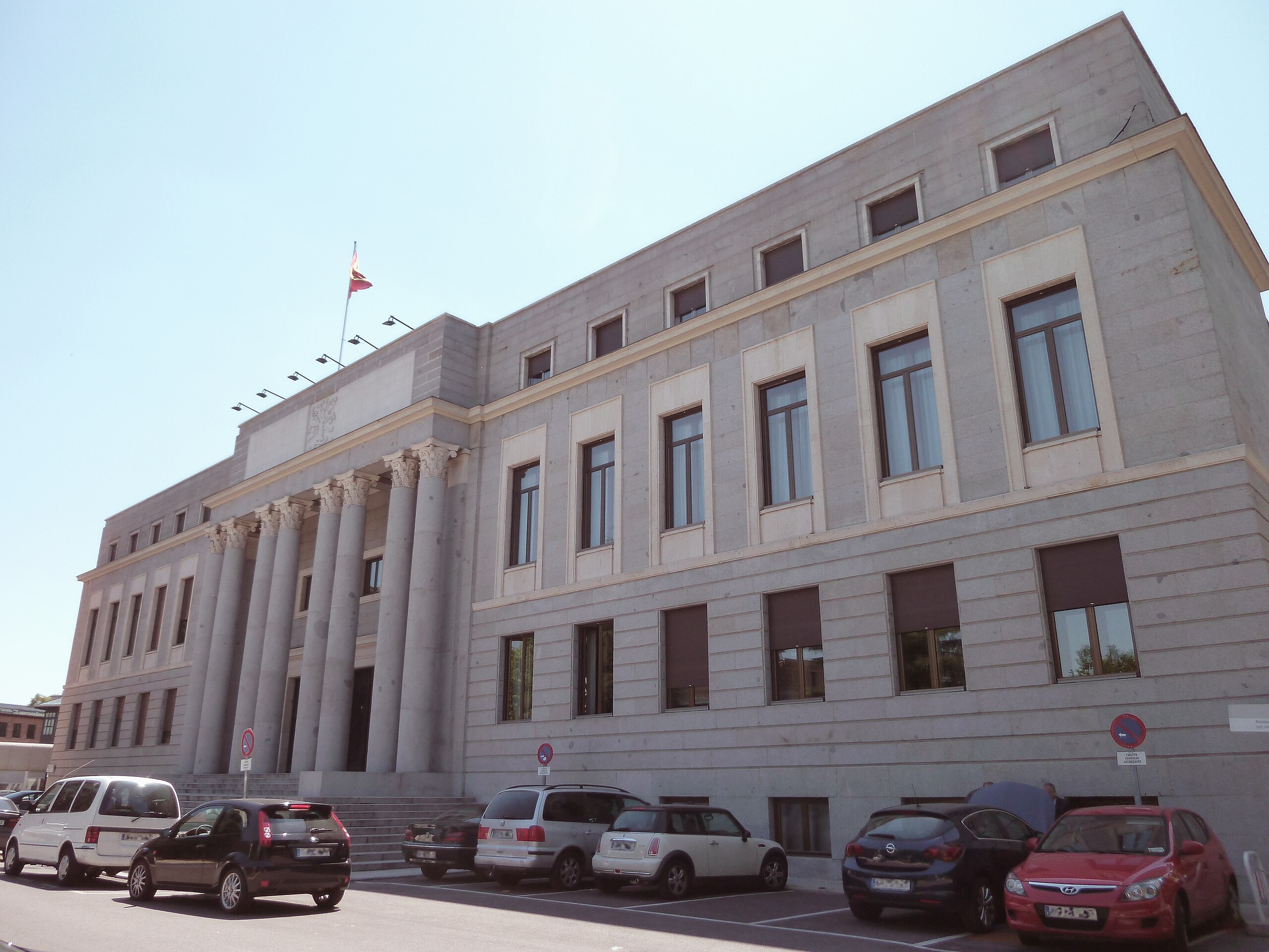
English: Façade of CSIC's central building, at 117 Calle de Serrano (street) in Chamartín district in Madrid (Spain). Projected in 1942 by Ricardo Fernández Vallespín and Miguel Fisac Serna, and built in 1943.
Español: Fachada del edificio central del CSIC, en el nº 117 de la Calle de Serrano de Madrid (España), en el distrito de Chamartín. Proyectado en 1942 por Ricardo Fernández Vallespín y Miguel Fisac Serna, y construido en 1943. |
||
| Date | |||
| Source | Own work | ||
| Author | Luis García (Zaqarbal) | ||
| Permission (Reusing this file) |
I, the copyright holder of this work, hereby publish it under the following licenses:
This file is licensed under the Creative Commons Attribution-Share Alike 3.0 Unported license. Attribution: Luis García
You may select the license of your choice. |
||
| Other versions |
_02.jpg) |

| Camera location | | View this and other nearby images on: OpenStreetMap |
|---|
_01.jpg¶ms=040.441420_N_-003.687320_E_globe:Earth_type:camera__&language=en)
| Object location | | View this and other nearby images on: OpenStreetMap |
|---|
_01.jpg¶ms=040.441158_N_-003.687587_E_globe:Earth_class:object_type:landmark_region:ES_&language=en)
File history
Click on a date/time to view the file as it appeared at that time.
| Date/Time | Thumbnail | Dimensions | User | Comment | |
|---|---|---|---|---|---|
| current | 05:11, 17 July 2011 | | 4,320 × 3,240 (1.95 MB) | Zaqarbal (talk | contribs) | Photo taken by Luis García (Zaqarbal) on June 20, 2011. Hereby published under GFDL and Cc-by-sa-3.0 licenses. |
You cannot overwrite this file.
File usage on Commons
The following 3 pages use this file:
File usage on other wikis
The following other wikis use this file:
- Usage on en.wikipedia.org
- Usage on es.wikipedia.org
- Usage on it.wikipedia.org
_01.jpg&oldid=803437207)