File:Ethiopia, administrative divisions - mk - colored.svg

Size of this PNG preview of this SVG file: 740 × 600 pixels. Other resolutions: 296 × 240 pixels | 592 × 480 pixels | 948 × 768 pixels | 1,263 × 1,024 pixels | 2,527 × 2,048 pixels | 1,843 × 1,494 pixels.
Original file (SVG file, nominally 1,843 × 1,494 pixels, file size: 375 KB)
Captions
Captions
Add a one-line explanation of what this file represents
Summary
edit| Description |
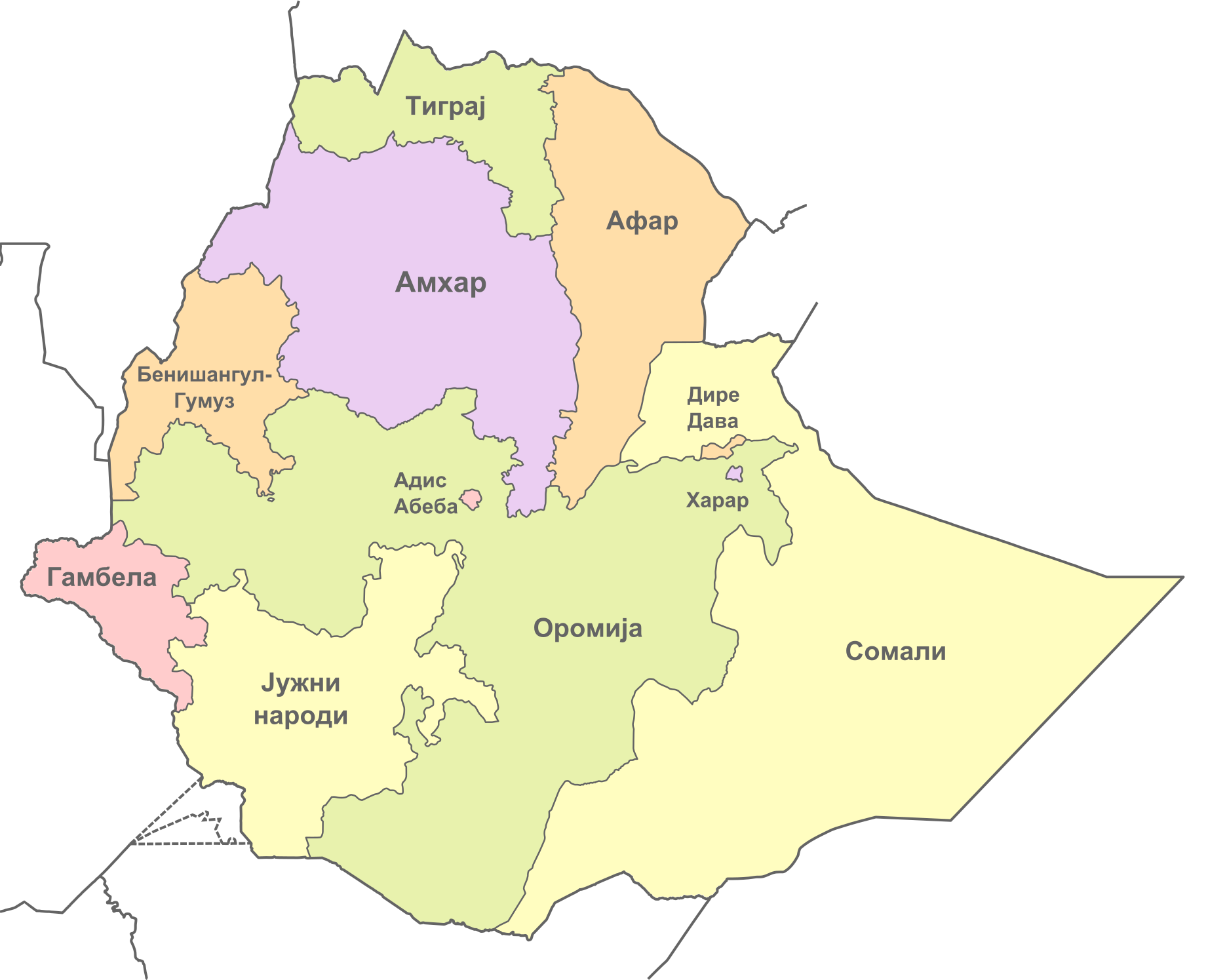
Македонски: Карта на регионите во Етиопија. English: Map of the regions of Ethiopia in Macedonian. |
| Date | (UTC) |
| Source |
This file was derived from: Ethiopia, administrative divisions - de - colored.svg: |
| Author |
|
| Other versions |
|

| This is a retouched picture, which means that it has been digitally altered from its original version. Modifications: Translated to Macedonian. The original can be viewed here: Ethiopia, administrative divisions - de - colored.svg:
|
Licensing
edit
I, the copyright holder of this work, hereby publish it under the following license:
This file is licensed under the Creative Commons Attribution-Share Alike 3.0 Unported license.
- You are free:
- to share – to copy, distribute and transmit the work
- to remix – to adapt the work
- Under the following conditions:
- attribution – You must give appropriate credit, provide a link to the license, and indicate if changes were made. You may do so in any reasonable manner, but not in any way that suggests the licensor endorses you or your use.
- share alike – If you remix, transform, or build upon the material, you must distribute your contributions under the same or compatible license as the original.
Original upload log
edit
This image is a derivative work of the following images:
- File:Ethiopia,_administrative_divisions_-_de_-_colored.svg licensed with Cc-by-sa-3.0
- 2012-10-26T22:42:36Z TUBS 1843x1494 (691074 Bytes) == {{int:filedesc}} == {{Information |Description={{de|Karte der politischen Gliederung von XY (siehe Dateiname)}} {{en|Map of administrative divisions of XY (see filename)}} |Source={{own}}{{Adobe Illustrator}}{{Commonist}}
Uploaded with derivativeFX
File history
Click on a date/time to view the file as it appeared at that time.
| Date/Time | Thumbnail | Dimensions | User | Comment | |
|---|---|---|---|---|---|
| current | 11:41, 7 May 2013 | | 1,843 × 1,494 (375 KB) | McZusatz (talk | contribs) | f |
| 02:14, 22 March 2013 |  | 1,843 × 1,494 (375 KB) | Bjankuloski06en (talk | contribs) | == {{int:filedesc}} == {{Information |Description={{mk|Карта на регионите во Етиопија.}} {{en|Map of the regions of Ethiopia in Macedonian.}} |Source={{Derived from|Ethiopia,_admini... |
You cannot overwrite this file.
File usage on Commons
The following 2 pages use this file:
File usage on other wikis
The following other wikis use this file:
- Usage on mk.wikipedia.org