File:Europe all states.png
Size of this preview: 800 × 352 pixels. Other resolutions: 320 × 141 pixels | 640 × 282 pixels | 1,427 × 628 pixels.
Original file (1,427 × 628 pixels, file size: 32 KB, MIME type: image/png)
Captions
Captions
Add a one-line explanation of what this file represents

|
This locator map image could be re-created using vector graphics as an SVG file. This has several advantages; see Commons:Media for cleanup for more information. If an SVG form of this image is available, please upload it and afterwards replace this template with
{{vector version available|new image name}}.
It is recommended to name the SVG file “Europe all states.svg”—then the template Vector version available (or Vva) does not need the new image name parameter. |
Summary
edit
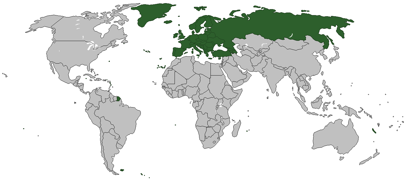
| Description | World Map - European countries |
| Date | |
| Source | trabajo propio usando mapa en blanco de wikipedia commons (File:BlankMap-World-Borders.png |
| Author |
Licensing
edit
| I, the copyright holder of this work, release this work into the public domain. This applies worldwide. In some countries this may not be legally possible; if so: I grant anyone the right to use this work for any purpose, without any conditions, unless such conditions are required by law. |
File history
Click on a date/time to view the file as it appeared at that time.
| Date/Time | Thumbnail | Dimensions | User | Comment | |
|---|---|---|---|---|---|
| current | 11:04, 6 August 2022 | | 1,427 × 628 (32 KB) | Рагин1987 (talk | contribs) | Transcaucasian countries shaded |
| 09:47, 3 February 2009 |  | 1,427 × 628 (54 KB) | Koyos (talk | contribs) | reverting geographically inaccurate color coding | |
| 11:04, 18 July 2008 |  | 1,427 × 628 (58 KB) | Aegean Boy~commonswiki (talk | contribs) | ||
| 22:21, 24 February 2008 |  | 1,427 × 628 (54 KB) | Wadim (talk | contribs) | ||
| 19:22, 12 February 2008 |  | 1,427 × 628 (43 KB) | Malus Catulus (talk | contribs) | {{Information |Description= |Source= |Date= |Author= |Permission= |other_versions= }} | |
| 01:28, 19 August 2007 |  | 1,427 × 628 (54 KB) | Wadim (talk | contribs) | {{Information |Description=World Map - European countries |Source=trabajo propio usando mapa en blanco de wikipedia commons |Date=19/08/2007 |Author= |Permission= |other_versions= }} |
You cannot overwrite this file.
File usage on Commons
The following page uses this file:
File usage on other wikis
The following other wikis use this file:
- Usage on ca.wikipedia.org
- Usage on da.wikipedia.org
- Usage on de.wikipedia.org
- Usage on es.wikipedia.org
- Usage on ja.wikipedia.org