File:Europe location EU.svg

Size of this PNG preview of this SVG file: 800 × 600 pixels. Other resolutions: 320 × 240 pixels | 640 × 480 pixels | 1,024 × 768 pixels | 1,280 × 960 pixels | 2,560 × 1,920 pixels | 1,600 × 1,200 pixels.
Original file (SVG file, nominally 1,600 × 1,200 pixels, file size: 2.55 MB)
Captions
Captions
Add a one-line explanation of what this file represents
| Description |
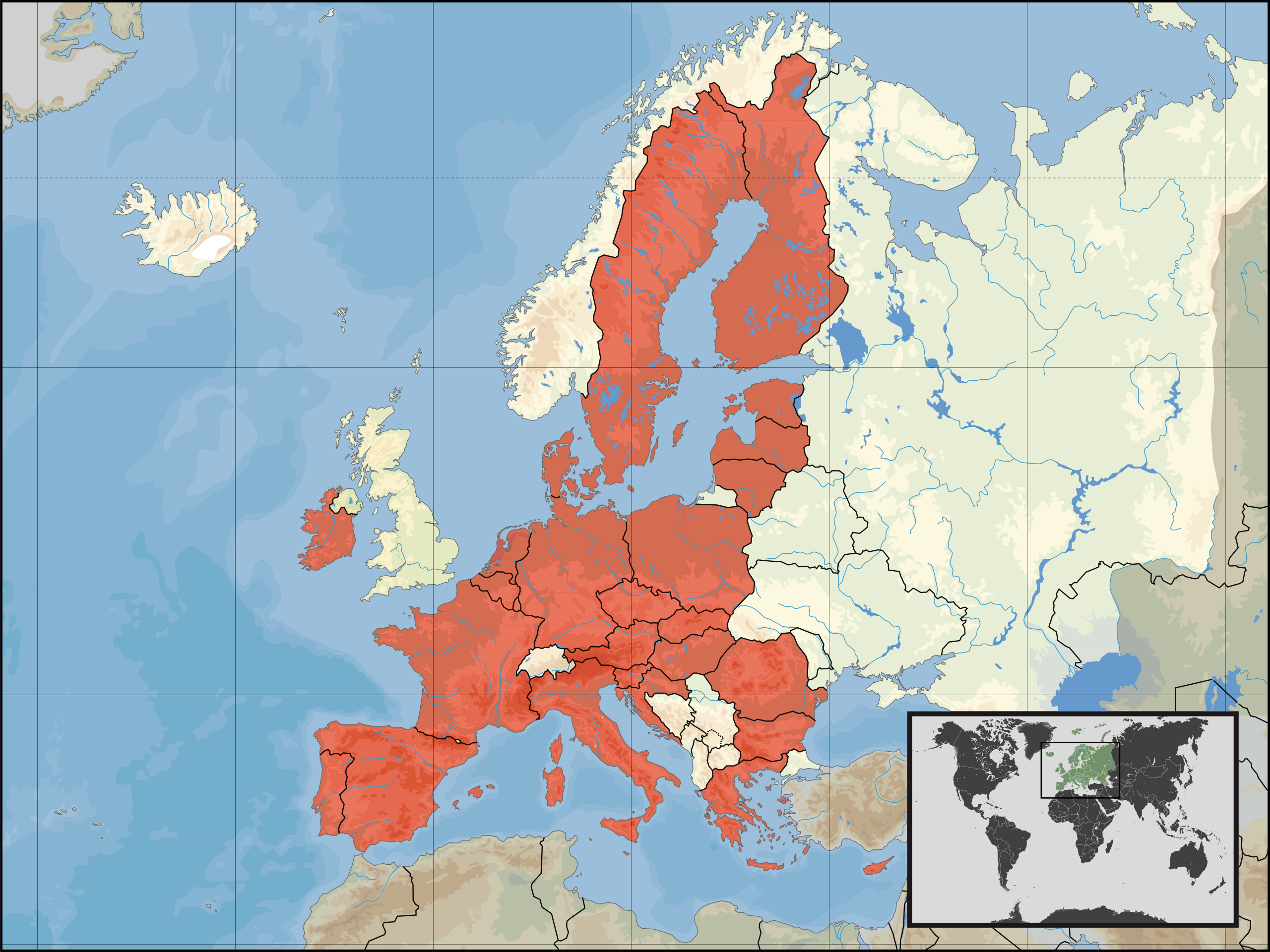
Deutsch: Lage der :de:Europäische Union in Europa am 1. Januar 2007 |
|||
| Date | ||||
| Source | Own work | |||
| Author | User:David Liuzzo | |||
| Permission (Reusing this file) |
|
|||
| SVG development | This W3C-invalid map was created with Adobe Illustrator. |

File history
Click on a date/time to view the file as it appeared at that time.
| Date/Time | Thumbnail | Dimensions | User | Comment | |
|---|---|---|---|---|---|
| current | 09:25, 17 July 2020 | | 1,600 × 1,200 (2.55 MB) | Giorgi Balakhadze (talk | contribs) | -UK |
| 15:47, 20 December 2013 |  | 1,600 × 1,200 (2.47 MB) | David Liuzzo (talk | contribs) | {{Information |Description={{de|Lage XXX in Europa und in der Europäischen Union am 20. Dezember 2013}} {{en|Location of X within Europe and the European Union on the 20th of December 2013.}} |Source={... |
You cannot overwrite this file.
File usage on Commons
The following page uses this file: