File:European Russia laea location map (Crimea disputed).jpg
Size of this preview: 454 × 599 pixels. Other resolutions: 182 × 240 pixels | 364 × 480 pixels | 582 × 768 pixels | 1,181 × 1,558 pixels.
Original file (1,181 × 1,558 pixels, file size: 1.64 MB, MIME type: image/jpeg)
Captions
Captions
Add a one-line explanation of what this file represents
Summary
edit.jpg&action=edit§ion=1)
| Description |
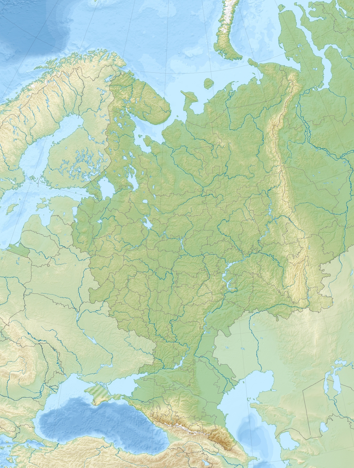
English: Relief location map of European Russia (with Crimea).
|
| Date | |
| Source | Own work |
| Author | Janitoalevic |
Licensing
edit.jpg&action=edit§ion=2)
I, the copyright holder of this work, hereby publish it under the following license:
This file is licensed under the Creative Commons Attribution-Share Alike 4.0 International license.
- You are free:
- to share – to copy, distribute and transmit the work
- to remix – to adapt the work
- Under the following conditions:
- attribution – You must give appropriate credit, provide a link to the license, and indicate if changes were made. You may do so in any reasonable manner, but not in any way that suggests the licensor endorses you or your use.
- share alike – If you remix, transform, or build upon the material, you must distribute your contributions under the same or compatible license as the original.
File history
Click on a date/time to view the file as it appeared at that time.
| Date/Time | Thumbnail | Dimensions | User | Comment | |
|---|---|---|---|---|---|
| current | 21:49, 15 May 2018 | | 1,181 × 1,558 (1.64 MB) | Janitoalevic (talk | contribs) | User created page with UploadWizard |
You cannot overwrite this file.
File usage on Commons
The following 2 pages use this file:
.jpg)
File usage on other wikis
The following other wikis use this file:
- Usage on av.wikipedia.org
- Usage on ca.wikipedia.org
- Usage on de.wikipedia.org
- Usage on el.wikipedia.org
- Usage on en.wikipedia.org
- Lake Ladoga
- Battle of Lesnaya
- Battle of Poltava
- Kerch Strait
- Battle of Ratan
- Southern Federal District
- Lake Peipus
- Battle of Klushino
- Kolomenskoye
- Rybinsk Reservoir
- Kuban (river)
- Vagankovo Cemetery
- Kuma–Manych Depression
- Virgin Komi Forests
- Trinity Lavra of St. Sergius
- Perekop
- Iremel
- Manych
- Ferapontov Monastery
- Belaya (Kama)
- Mugalzhar
- Battle of Shipka Pass
- Lake Seliger
- Bolshaya Laba
- Mount Yamantau
- Western Caucasus
- Lake Brosno
- Battle of Prokhorovka
- Battle of Kauhajoki
- 4th Panzer Army
- Arkaim
- Tsimlyansk Reservoir
- Zhiguli Mountains
- Sviyazhsk
- Mount Narodnaya
- Yeya
- Taman Peninsula
- Kideksha Church
- Volga Upland
- Lake Valdayskoye
- Podkumok
- White Monuments of Vladimir and Suzdal
- Totskoye nuclear exercise
View more global usage of this file.
.jpg)
.jpg&oldid=701874951)