File:Ferry in the Solent.jpg

Size of this preview: 800 × 531 pixels. Other resolutions: 320 × 213 pixels | 640 × 425 pixels | 1,024 × 680 pixels | 1,280 × 850 pixels | 2,560 × 1,700 pixels | 4,288 × 2,848 pixels.
Original file (4,288 × 2,848 pixels, file size: 5.04 MB, MIME type: image/jpeg)
Captions
Captions
Add a one-line explanation of what this file represents
Summary edit
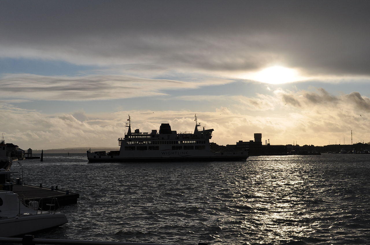
| Description | Ferry going |
| Date | |
| Source | Ferry going |
| Author | Darren Glanville |
| Camera location | | View this and other nearby images on: OpenStreetMap |
|---|
Licensing edit
This file is licensed under the Creative Commons Attribution-Share Alike 2.0 Generic license.
- You are free:
- to share – to copy, distribute and transmit the work
- to remix – to adapt the work
- Under the following conditions:
- attribution – You must give appropriate credit, provide a link to the license, and indicate if changes were made. You may do so in any reasonable manner, but not in any way that suggests the licensor endorses you or your use.
- share alike – If you remix, transform, or build upon the material, you must distribute your contributions under the same or compatible license as the original.
| This image was originally posted to Flickr by Darren J Glanville at https://www.flickr.com/photos/57081910@N04/6511965951. It was reviewed on 24 March 2012 by FlickreviewR and was confirmed to be licensed under the terms of the cc-by-sa-2.0. |
File history
Click on a date/time to view the file as it appeared at that time.
| Date/Time | Thumbnail | Dimensions | User | Comment | |
|---|---|---|---|---|---|
| current | 08:10, 24 March 2012 | | 4,288 × 2,848 (5.04 MB) | Geo Swan (talk | contribs) | {{Information |Description=Ferry going |Source=[http://www.flickr.com/photos/darren_j_glanville/6511965951/ Ferry going] |Date=2011-12-14 14:40 |Author=[http://www.flickr.com/people/57081910@N04 Darren Glanville] |Permission= |other_versions= }} {{Loca... |
You cannot overwrite this file.
File usage on Commons
The following page uses this file: