File:Flag-map of Mayotte.png
No higher resolution available.
Flag-map_of_Mayotte.png (368 × 500 pixels, file size: 43 KB, MIME type: image/png)
Captions
Captions
Add a one-line explanation of what this file represents
Summary
edit
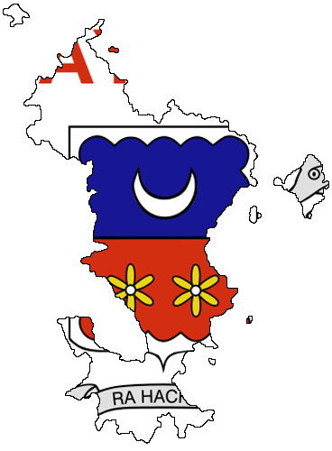
| Description | Flag-map of Mayotte |
| Date | |
| Source | Own work |
| Author | Andriyko_UA |
Licensing
edit
| I, the copyright holder of this work, release this work into the public domain. This applies worldwide. In some countries this may not be legally possible; if so: I grant anyone the right to use this work for any purpose, without any conditions, unless such conditions are required by law. |
File history
Click on a date/time to view the file as it appeared at that time.
| Date/Time | Thumbnail | Dimensions | User | Comment | |
|---|---|---|---|---|---|
| current | 20:46, 17 January 2008 | | 368 × 500 (43 KB) | Andriyko UA (talk | contribs) | {{Information |Description=Flag-map of Mayotte |Source=Own work |Date=17.01.2008 |Author=Andriyko_UA |Permission= |other_versions= }} |
You cannot overwrite this file.
File usage on Commons
The following page uses this file:
File usage on other wikis
The following other wikis use this file:
- Usage on en.wikipedia.org
- Dembeni
- Acoua
- Bandraboua
- Bandrélé
- Bouéni
- Chiconi
- Chirongui
- Kani-Kéli
- Koungou
- M'Tsangamouji
- Ouangani
- Sada, Mayotte
- Tsingoni
- Pamandzi
- Pamanzi
- Template:Mayotte-geo-stub
- Mtsapere
- Kaweni
- Passamainty
- Kavani
- Vahibé
- Tsountsou
- Majicavo Koropa
- Longoni, Mayotte
- Trévani
- Majicavo Lamir
- Labattoir
- Mroualé
- Tsararano, Mayotte
- Iloni
- Ongojou
- Dzoumogne
- Handrema
- Mtsangamboua
- Mtsahara
- Hamjago
- Mangajou
- Poroani
- Tsimkoura
- Miréréni
- Mramadoudou
- Malamani
- Barakani, Mayotte
- M'tsamoudou
- Nyambadao
- Dapani
- Hamouro
- Mliha
- Mzouazia
- Moinatrindri
View more global usage of this file.