File:Francesco solimena (attr.), adame ed evan nel paradiso terrestre.jpg

Size of this preview: 498 × 600 pixels. Other resolutions: 199 × 240 pixels | 398 × 480 pixels | 637 × 768 pixels | 850 × 1,024 pixels | 2,022 × 2,436 pixels.
Original file (2,022 × 2,436 pixels, file size: 3.08 MB, MIME type: image/jpeg)
Captions
Captions
Add a one-line explanation of what this file represents
Summary
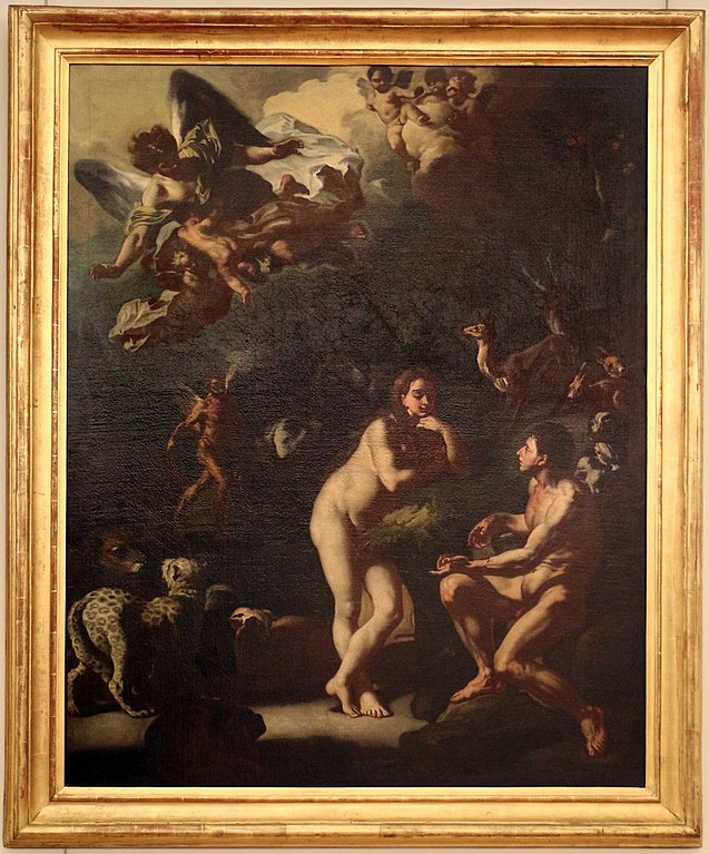
Object
| Artist |
|
||||||||||||||||||||||||||
| Object type | painting | ||||||||||||||||||||||||||
| Description |
Italian:
adame ed evan nel paradiso terrestre |
||||||||||||||||||||||||||
| Date | circa | ||||||||||||||||||||||||||
| Medium | painting | ||||||||||||||||||||||||||
| Collection |
|
||||||||||||||||||||||||||
| Current location |
Palazzo Lanfranchi |
||||||||||||||||||||||||||
| Notes |
|
||||||||||||||||||||||||||


Photograph
| Date | |
| Source | Own work |
| Author | Sailko |
| Permission (Reusing this file) |
I, the copyright holder of this work, hereby publish it under the following license: This file is licensed under the Creative Commons Attribution-Share Alike 4.0 International license.
|
| Camera location | | View this and other nearby images on: OpenStreetMap |
|---|
,_adame_ed_evan_nel_paradiso_terrestre.jpg¶ms=040.662800_N_0016.610400_E_globe:Earth_type:camera__&language=en)

|
This image was uploaded as part of Wiki Loves Monuments 2016.
|
 |

|
The making of this document was supported by Wikimedia CH. (Submit your project!) For all the files concerned, please see the category Supported by Wikimedia CH. |
File history
Click on a date/time to view the file as it appeared at that time.
| Date/Time | Thumbnail | Dimensions | User | Comment | |
|---|---|---|---|---|---|
| current | 17:42, 27 September 2016 | | 2,022 × 2,436 (3.08 MB) | Sailko (talk | contribs) | User created page with UploadWizard |
You cannot overwrite this file.
File usage on Commons
The following page uses this file:
,_adame_ed_evan_nel_paradiso_terrestre.jpg)
File usage on other wikis
The following other wikis use this file:
- Usage on bg.wikipedia.org
,_adame_ed_evan_nel_paradiso_terrestre.jpg&oldid=708175217)