File:Glastonbury Tor (27448903332).jpg

Size of this preview: 800 × 533 pixels. Other resolutions: 320 × 213 pixels | 640 × 427 pixels | 1,024 × 683 pixels | 1,280 × 853 pixels | 2,560 × 1,707 pixels | 3,216 × 2,144 pixels.
Original file (3,216 × 2,144 pixels, file size: 3.15 MB, MIME type: image/jpeg)
Captions
Captions
Add a one-line explanation of what this file represents
Summary
edit.jpg&action=edit§ion=1)
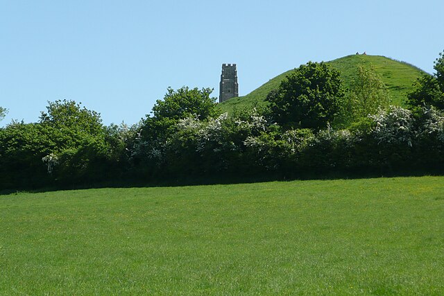
| Description | About to climb up Glastonbury Tor - it rises up 158m above sea level, there is an easy concrete path to climb up. At the top, there are fantastic 360' views all round, looking down to the town of Glastonbury and across the Somerset Levels |
| Date | |
| Source | Glastonbury Tor |
| Author | Paul Stephenson from London |
| Camera location | | View this and other nearby images on: OpenStreetMap |
|---|
.jpg¶ms=051.143225_N_-002.703537_E_globe:Earth_type:camera_source:Flickr_&language=en)
Licensing
edit.jpg&action=edit§ion=2)
This file is licensed under the Creative Commons Attribution 2.0 Generic license.
- You are free:
- to share – to copy, distribute and transmit the work
- to remix – to adapt the work
- Under the following conditions:
- attribution – You must give appropriate credit, provide a link to the license, and indicate if changes were made. You may do so in any reasonable manner, but not in any way that suggests the licensor endorses you or your use.
| This image was originally posted to Flickr by Paul Stephenson at https://flickr.com/photos/25979189@N00/27448903332. It was reviewed on 19 March 2017 by FlickreviewR and was confirmed to be licensed under the terms of the cc-by-2.0. |
File history
Click on a date/time to view the file as it appeared at that time.
| Date/Time | Thumbnail | Dimensions | User | Comment | |
|---|---|---|---|---|---|
| current | 07:19, 19 March 2017 | | 3,216 × 2,144 (3.15 MB) | Спасимир (talk | contribs) | Transferred from Flickr via Flickr2Commons |
You cannot overwrite this file.
File usage on Commons
There are no pages that use this file.
.jpg&oldid=473829958)