File:Großhartmannsdorf, Kriegerdenkmal deutsch-französischer Krieg.JPG

Size of this preview: 400 × 600 pixels. Other resolutions: 160 × 240 pixels | 320 × 480 pixels | 512 × 768 pixels | 682 × 1,024 pixels | 1,365 × 2,048 pixels | 2,848 × 4,272 pixels.
Original file (2,848 × 4,272 pixels, file size: 3.81 MB, MIME type: image/jpeg)
Captions
Captions
Add a one-line explanation of what this file represents
Summary
edit
| Description |
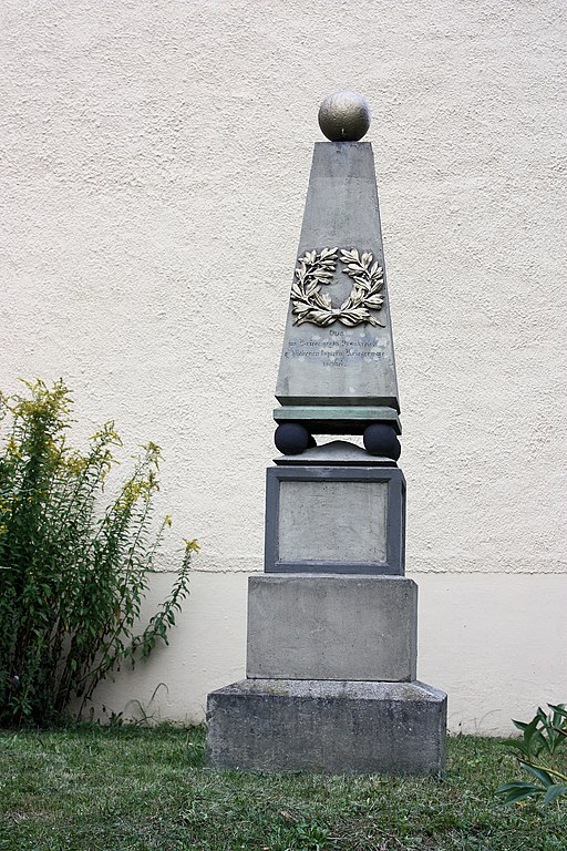
English: Großhartmannsdorf, war memorial Franco-Prussian War
Deutsch: Großhartmannsdorf, Kriegerdenkmal deutsch-französischer Krieg |
| Date | |
| Source | Own work |
| Author | Dguendel |
| Camera location | | View this and other nearby images on: OpenStreetMap |
|---|
521mNN
Licensing
edit
I, the copyright holder of this work, hereby publish it under the following license:
This file is licensed under the Creative Commons Attribution 4.0 International license.
- You are free:
- to share – to copy, distribute and transmit the work
- to remix – to adapt the work
- Under the following conditions:
- attribution – You must give appropriate credit, provide a link to the license, and indicate if changes were made. You may do so in any reasonable manner, but not in any way that suggests the licensor endorses you or your use.
File history
Click on a date/time to view the file as it appeared at that time.
| Date/Time | Thumbnail | Dimensions | User | Comment | |
|---|---|---|---|---|---|
| current | 08:46, 17 January 2020 | | 2,848 × 4,272 (3.81 MB) | Dguendel (talk | contribs) | {{Information |description ={{en|1=Großhartmannsdorf, war memorial Franco-Prussian War}} {{de|1=Großhartmannsdorf, Kriegerdenkmal deutsch-französischer Krieg}} |date =2015-08-28 |source ={{own}} |author =User:Dguendel }} {{location|50|47|47.77|N|13|19|3.68|E}} 521mNN Category:Cultural heritage monuments in Großhartmannsdorf |
You cannot overwrite this file.
File usage on Commons
There are no pages that use this file.