File:Ifpo 23334 Syrie, gouvernorat de Tartous, District de Tartous, la côte et la mer à Tartous, vue aérienne verticale.jpg

Size of this preview: 800 × 568 pixels. Other resolutions: 320 × 227 pixels | 640 × 454 pixels | 1,024 × 727 pixels | 1,280 × 909 pixels | 2,096 × 1,488 pixels.
Original file (2,096 × 1,488 pixels, file size: 426 KB, MIME type: image/jpeg)
Captions
Captions
Add a one-line explanation of what this file represents
| Photographer |
|
|||||||||||
| Description |
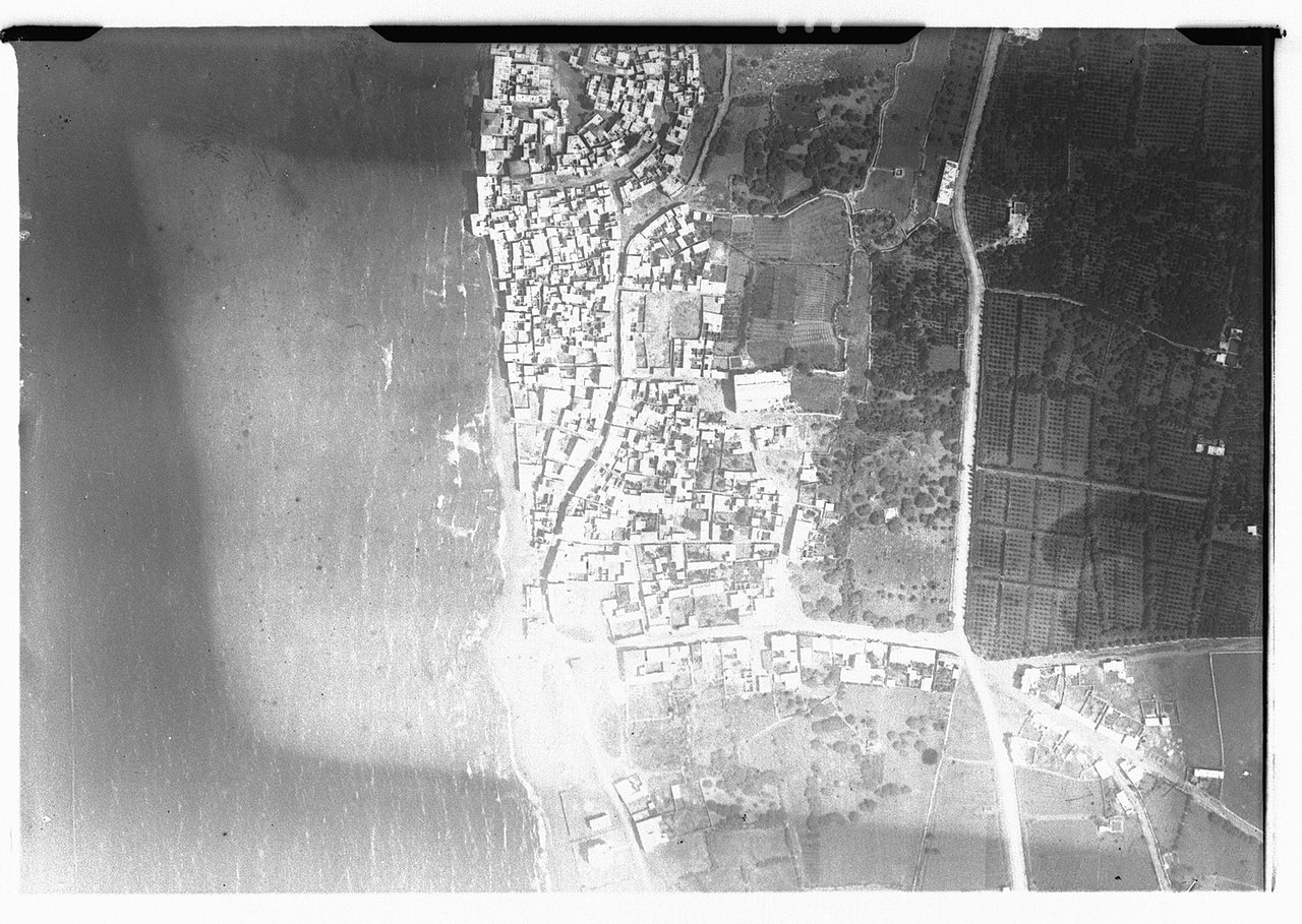
Français : Syrie, gouvernorat de Tartous, District de Tartous, la côte et la mer à Tartous, vue aérienne verticale |
|||||||||||
| Date |
Taken on 30 May 1929 1 February 2020, 11:24:12 (upload date) |
|||||||||||
| Medium | dry plate | |||||||||||
| Dimensions | height: 18 cm (7 in); width: 24 cm (9.4 in) | |||||||||||
| Collection |
|
|||||||||||
| Accession number |
hal-02463584 Ifpo-23334 |
|||||||||||
| Object history | French army | |||||||||||
| Credit line |
Français : Institut français du Proche-Orient (Ifpo) ; ALIPH – Alliance internationale pour la protection du patrimoine dans les zones en conflit |
|||||||||||
| Source |
https://hal.archives-ouvertes.fr/hal-02463584 https://hal.archives-ouvertes.fr/hal-02463584/document |
|||||||||||
| Permission (Reusing this file) |
|
|||||||||||
| Mots-clés | Français : Côte,Mer,District de Tartous,Gouvernorat de Tartous,Ṭarṭūs,Tartous,Photographie aérienne verticale,Archéologie,Syrie,Vue aérienne,Photographie aérienne |
|||||||||||
| Camera location | | View this and other nearby images on: OpenStreetMap |
|---|
File history
Click on a date/time to view the file as it appeared at that time.
| Date/Time | Thumbnail | Dimensions | User | Comment | |
|---|---|---|---|---|---|
| current | 14:00, 27 April 2021 | | 2,096 × 1,488 (426 KB) | SteinsplitterBot (talk | contribs) | Bot: Image rotated by 180° |
| 22:47, 18 April 2021 |  | 2,103 × 1,488 (427 KB) | Don-vip (talk | contribs) | pattypan 20.04 |
You cannot overwrite this file.
File usage on Commons
The following 2 pages use this file: