File:India Bangladesh border US Army Map Service.jpg

Size of this preview: 517 × 599 pixels. Other resolutions: 207 × 240 pixels | 414 × 480 pixels | 680 × 788 pixels.
Original file (680 × 788 pixels, file size: 288 KB, MIME type: image/jpeg)
Captions
Captions
Add a one-line explanation of what this file represents
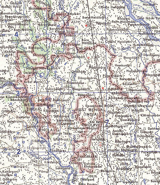
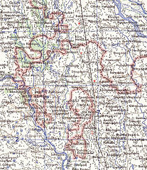
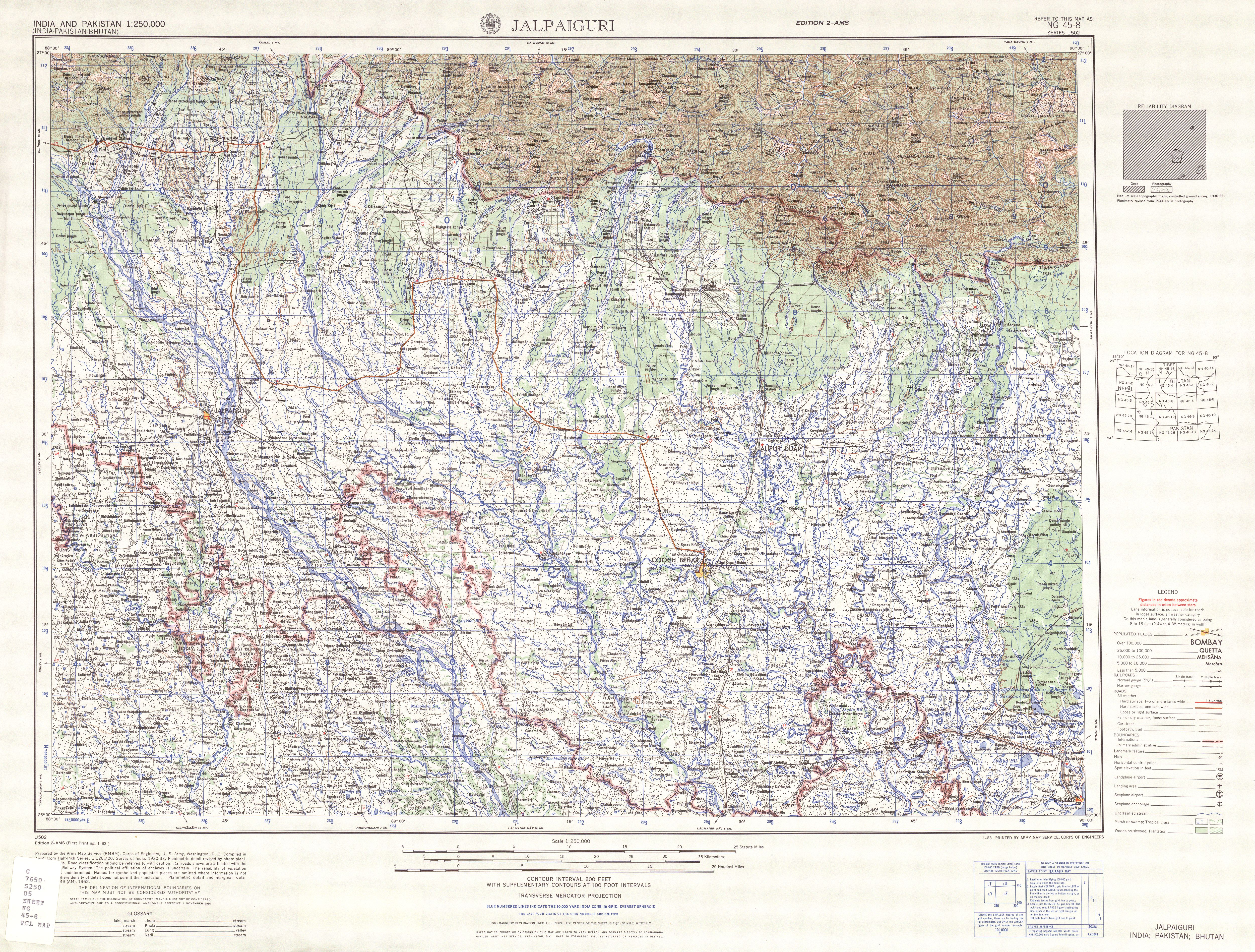
Map of part of the India-north Bangladesh border, US army map service, 1960s. Shows a couple of the larger exclaves of India, but is simplified due to the tiny size of many of them. Located in area near 26°15′43″N 88°45′6″E / 26.26194°N 88.75167°E There were at least 129 smaller enclaves and second-level enclaves on both sides of this border, see external link for a more detailed map. Note: Bangladesh is shown as 'East Pakistan'.
This work is in the public domain in the United States because it is a work prepared by an officer or employee of the United States Government as part of that person’s official duties under the terms of Title 17, Chapter 1, Section 105 of the US Code.
Note: This only applies to original works of the Federal Government and not to the work of any individual U.S. state, territory, commonwealth, county, municipality, or any other subdivision. This template also does not apply to postage stamp designs published by the United States Postal Service since 1978. (See § 313.6(C)(1) of Compendium of U.S. Copyright Office Practices). It also does not apply to certain US coins; see The US Mint Terms of Use.
|
 | |
| This file has been identified as being free of known restrictions under copyright law, including all related and neighboring rights. | ||
[üCategory:International borders of India]]
File history
Click on a date/time to view the file as it appeared at that time.
| Date/Time | Thumbnail | Dimensions | User | Comment | |
|---|---|---|---|---|---|
| current | 10:31, 14 May 2007 | | 680 × 788 (288 KB) | Roke~commonswiki (talk | contribs) | Map of the India-Bangladesh border, US army map service, 1960s. Shows some of the enclaves on the border, but is simplified. {{PD-PCL|txu-oclc-6614190-ng45-8.jpg|/ams/india/}} Category:Maps of India Category:Maps of Bangladesh |
You cannot overwrite this file.
File usage on Commons
There are no pages that use this file.
File usage on other wikis
The following other wikis use this file:
- Usage on bn.wikipedia.org
- Usage on de.wikipedia.org
- Usage on en.wikipedia.org
- Usage on es.wikipedia.org
- Usage on fr.wikipedia.org
- Usage on ja.wikipedia.org
- Usage on mt.wikipedia.org
- Usage on nl.wikipedia.org
- Usage on pt.wikipedia.org