File:India Jammu and Kashmir state location map2.svg

Size of this PNG preview of this SVG file: 794 × 600 pixels. Other resolutions: 318 × 240 pixels | 635 × 480 pixels | 1,017 × 768 pixels | 1,280 × 967 pixels | 2,560 × 1,934 pixels | 1,722 × 1,301 pixels.
Original file (SVG file, nominally 1,722 × 1,301 pixels, file size: 998 KB)
Captions
Captions
Add a one-line explanation of what this file represents
Summary
edit| Description |
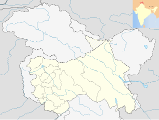
English: Location map of Jammu and Kashmir, India. De facto situation.
Equirectangular projection, N/S stretching 120 %. Geographic limits of the map:
|
| Date | |
| Source |
This file was derived from: |
| Author |

Licensing
edit
This file is licensed under the Creative Commons Attribution-Share Alike 3.0 Unported license.
- You are free:
- to share – to copy, distribute and transmit the work
- to remix – to adapt the work
- Under the following conditions:
- attribution – You must give appropriate credit, provide a link to the license, and indicate if changes were made. You may do so in any reasonable manner, but not in any way that suggests the licensor endorses you or your use.
- share alike – If you remix, transform, or build upon the material, you must distribute your contributions under the same or compatible license as the original.
File history
Click on a date/time to view the file as it appeared at that time.
| Date/Time | Thumbnail | Dimensions | User | Comment | |
|---|---|---|---|---|---|
| current | 02:53, 6 August 2016 | | 1,722 × 1,301 (998 KB) | Stegop (talk | contribs) | User created page with UploadWizard |
You cannot overwrite this file.
File usage on Commons
The following page uses this file:
- File:India Jammu and Kashmir location map2.svg (file redirect)