File:Jinan Railway Station 02.jpg
Size of this preview: 800 × 600 pixels. Other resolutions: 320 × 240 pixels | 640 × 480 pixels | 1,024 × 768 pixels | 1,280 × 960 pixels | 2,048 × 1,536 pixels.
Original file (2,048 × 1,536 pixels, file size: 1.27 MB, MIME type: image/jpeg)
File information
Structured data
Captions
Camera location | 36° 40′ 16.19″ N, 116° 59′ 08.76″ E | View this and other nearby images on: OpenStreetMap | 36.671164; 116.985767 |
---|
DescriptionJinan Railway Station 02.jpg |
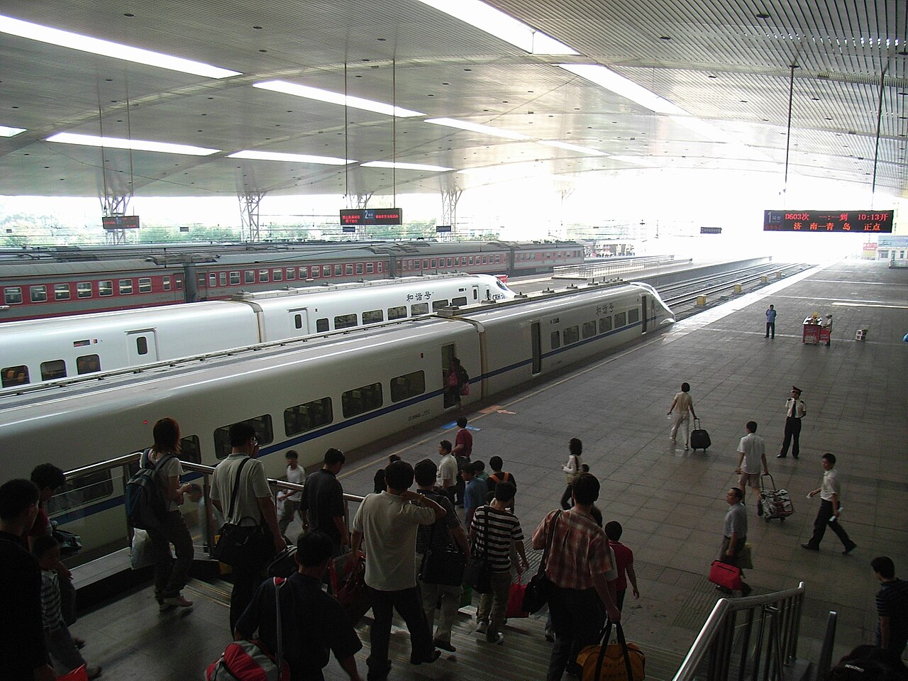
済南駅/济南火车站 Jinan Railway Station |
||
Date | |||
Source | originally posted to Flickr as Jinan Railway Station | ||
Author | kanegen | ||
Permission (Reusing this file) |
This file is licensed under the Creative Commons Attribution 2.0 Generic license.
|
File history
Click on a date/time to view the file as it appeared at that time.
Date/Time | Thumbnail | Dimensions | User | Comment | |
---|---|---|---|---|---|
current | 12:20, 24 November 2008 | 2,048 × 1,536 (1.27 MB) | Flickr upload bot (talk | contribs) | Uploaded from http://flickr.com/photo/12527903@N00/2911580155 using Flickr upload bot |
You cannot overwrite this file.
File usage on Commons
There are no pages that use this file.
File usage on other wikis
The following other wikis use this file:
- Usage on fr.wikipedia.org
- Usage on ja.wikipedia.org
Metadata
This file contains additional information such as Exif metadata which may have been added by the digital camera, scanner, or software program used to create or digitize it. If the file has been modified from its original state, some details such as the timestamp may not fully reflect those of the original file. The timestamp is only as accurate as the clock in the camera, and it may be completely wrong.
Image title | Exif_JPEG_PICTURE |
---|---|
Camera manufacturer | RICOH |
Camera model | Caplio R5 |
Copyright holder | (C) by Caplio R5 User |
Exposure time | 1/64 sec (0.015625) |
F-number | f/3.3 |
ISO speed rating | 100 |
Date and time of data generation | 09:50, 21 September 2008 |
Lens focal length | 4.6 mm |
Latitude | 36° 40′ 16.19″ N |
Longitude | 116° 59′ 8.76″ E |
Altitude | 35.23 meters above sea level |
Orientation | Normal |
Horizontal resolution | 72 dpi |
Vertical resolution | 72 dpi |
File change date and time | 09:50, 21 September 2008 |
Y and C positioning | Co-sited |
Exposure Program | Normal program |
Exif version | 2.1 |
Date and time of digitizing | 09:50, 21 September 2008 |
Meaning of each component |
|
Image compression mode | 3.2 |
APEX aperture | 3.4 |
APEX brightness | 4.4 |
APEX exposure bias | 0 |
Maximum land aperture | 3.3 APEX (f/3.14) |
Metering mode | Pattern |
Light source | Unknown |
Flash | Flash did not fire, compulsory flash suppression |
Supported Flashpix version | 1 |
Color space | sRGB |
Geodetic survey data used | WGS84 |
GPS tag version | 0.0.0.2 |