File:Kallo,Mäntyluoto.jpg
Size of this preview: 800 × 600 pixels. Other resolutions: 320 × 240 pixels | 640 × 480 pixels | 1,024 × 768 pixels | 1,280 × 960 pixels | 2,592 × 1,944 pixels.
Original file (2,592 × 1,944 pixels, file size: 840 KB, MIME type: image/jpeg)
Captions
Captions
Add a one-line explanation of what this file represents
Summary
edit
| Camera location | | View this and other nearby images on: OpenStreetMap |
|---|
| Description |
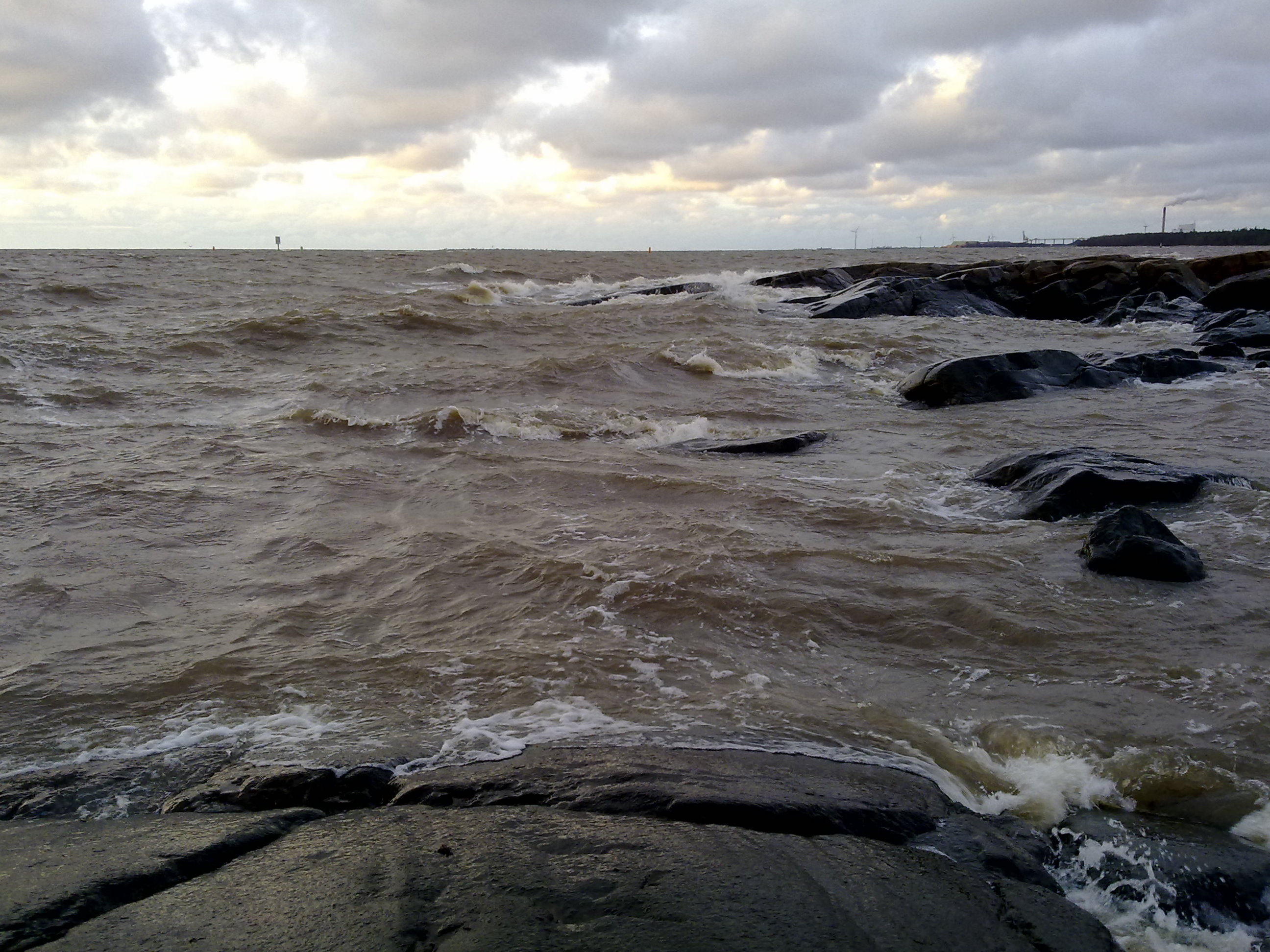
English: Photo from Kallo, Mäntyluoto, Pori, Finland.
Suomi: Kuva Kallosta, Mäntyluodosta, Porista, Suomesta. |
| Date | 19. marraskuuta 2008 |
| Source | Own work |
| Author | kallerna |
Licensing
edit
| I, the copyright holder of this work, release this work into the public domain. This applies worldwide. In some countries this may not be legally possible; if so: I grant anyone the right to use this work for any purpose, without any conditions, unless such conditions are required by law. |
File history
Click on a date/time to view the file as it appeared at that time.
| Date/Time | Thumbnail | Dimensions | User | Comment | |
|---|---|---|---|---|---|
| current | 12:03, 18 January 2009 | | 2,592 × 1,944 (840 KB) | Kallerna (talk | contribs) | |
| 15:51, 8 December 2008 |  | 2,592 × 1,944 (954 KB) | Kallerna (talk | contribs) | {{Information |Description={{en|1=Photo from Kallo, Mäntyluoto, Pori, Finland.}} {{fi|1=Kuva Kallosta, Mäntyluodosta, Porista, Suomesta.}} |Source=Own work by uploader |Author=kallerna |Date=19. marraskuuta 2008 |Permission= |other_ver |
You cannot overwrite this file.
File usage on Commons
The following 2 pages use this file:
File usage on other wikis
The following other wikis use this file:
- Usage on ceb.wikipedia.org
- Usage on fi.wikipedia.org
- Usage on www.wikidata.org