File:Karte Knipperts Mühle.jpg
Size of this preview: 800 × 533 pixels. Other resolutions: 320 × 213 pixels | 640 × 427 pixels | 1,024 × 683 pixels | 1,200 × 800 pixels.
Original file (1,200 × 800 pixels, file size: 245 KB, MIME type: image/jpeg)
Captions
Captions
Add a one-line explanation of what this file represents
Summary
edit
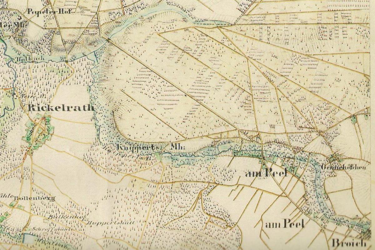
| Description | Preußische Kartenaufnahme Uraufnahme (4803) Wegberg |
| Date | |
| Source | Landesvermessungsamt NRW |
| Author | v. Dorpowski 1844 u. Müller 1846 |
Licensing
edit
|
This work is in the public domain in its country of origin and other countries and areas where the copyright term is the author's life plus 70 years or fewer. This work is in the public domain in the United States because it was published (or registered with the U.S. Copyright Office) before January 1, 1929. | |
| This file has been identified as being free of known restrictions under copyright law, including all related and neighboring rights. | |
File history
Click on a date/time to view the file as it appeared at that time.
| Date/Time | Thumbnail | Dimensions | User | Comment | |
|---|---|---|---|---|---|
| current | 22:59, 7 March 2012 | | 1,200 × 800 (245 KB) | Huckety (talk | contribs) |
You cannot overwrite this file.
File usage on Commons
The following 2 pages use this file:
- User:Huckety/gallery
- File:Karte Knippertzmühle.jpg (file redirect)
File usage on other wikis
The following other wikis use this file:
- Usage on de.wikipedia.org