File:Kings Arms, Ashton-in-Makerfield 2021.jpg

Size of this preview: 800 × 519 pixels. Other resolutions: 320 × 207 pixels | 640 × 415 pixels | 1,024 × 664 pixels | 1,280 × 830 pixels | 2,560 × 1,659 pixels | 4,378 × 2,838 pixels.
Original file (4,378 × 2,838 pixels, file size: 15.8 MB, MIME type: image/jpeg)
Captions
Captions
Add a one-line explanation of what this file represents
Summary
edit
| Description |
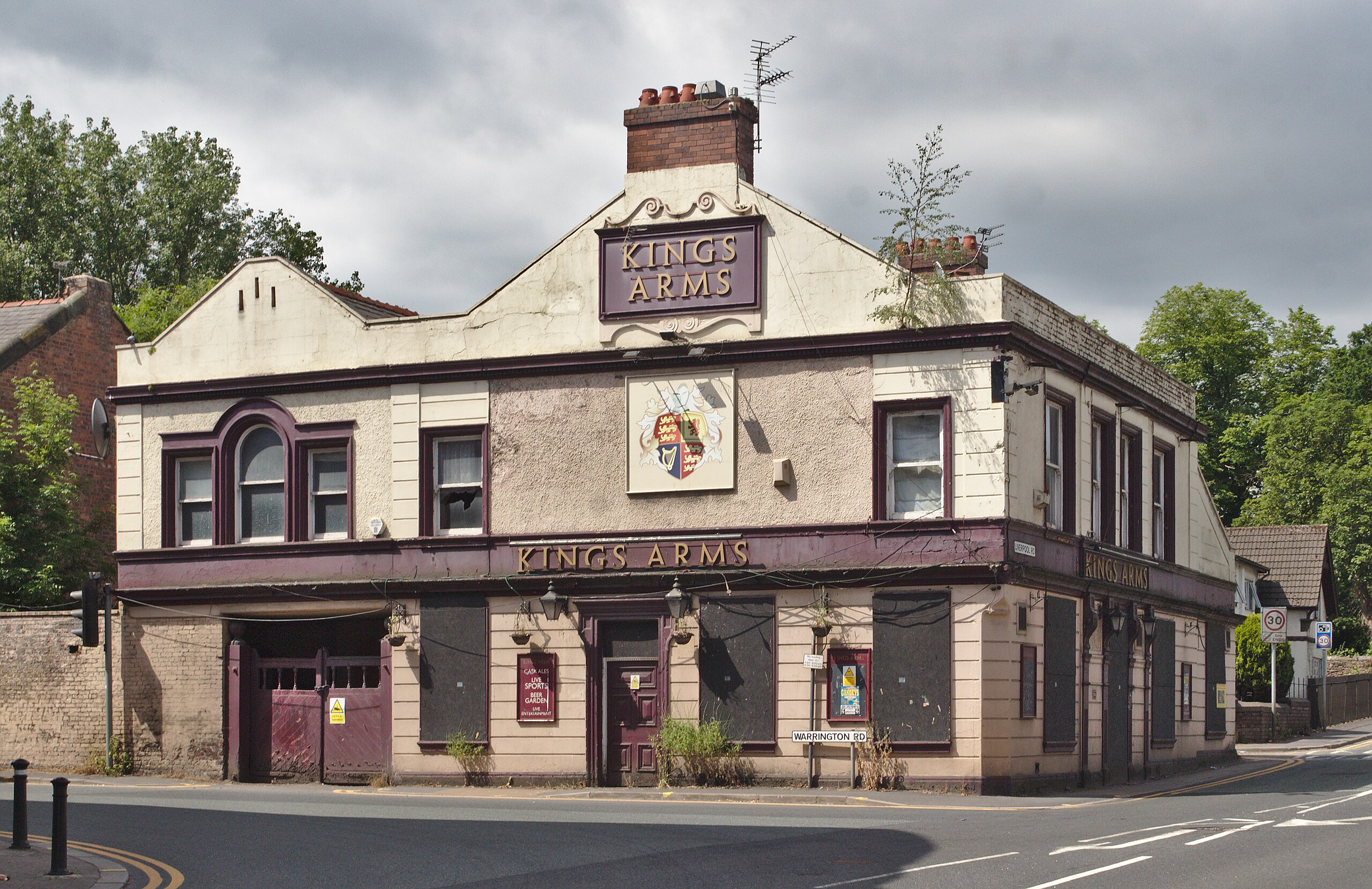
English: Former pub on the corner of Warrington Road and Liverpool Road, Ashton-in-Makerfield. Probably an old coaching inn judging by the gates to left. |
| Date | |
| Source | Own work |
| Author | Rodhullandemu |
| Object location | | View this and other nearby images on: OpenStreetMap |
|---|
Licensing
edit

|
The copyright holder of this file, User:Rodhullandemu, allows anyone to use it for any purpose, provided that the copyright holder is properly attributed. Redistribution, derivative work, commercial use, and all other use is permitted. |
Attribution:
By Phil Nash from Wikimedia Commons CC BY-SA 4.0 & GFDL Views
|
File history
Click on a date/time to view the file as it appeared at that time.
| Date/Time | Thumbnail | Dimensions | User | Comment | |
|---|---|---|---|---|---|
| current | 19:09, 28 June 2021 | | 4,378 × 2,838 (15.8 MB) | Rodhullandemu (talk | contribs) | dust spots |
| 19:05, 28 June 2021 |  | 4,378 × 3,126 (17.04 MB) | Rodhullandemu (talk | contribs) | Uploaded own work with UploadWizard |
You cannot overwrite this file.
File usage on Commons
There are no pages that use this file.