File:Kutná Hora, Barborská 3.jpg

Size of this preview: 800 × 600 pixels. Other resolutions: 320 × 240 pixels | 640 × 480 pixels | 1,024 × 768 pixels | 1,280 × 960 pixels | 2,560 × 1,920 pixels | 3,648 × 2,736 pixels.
Original file (3,648 × 2,736 pixels, file size: 3.67 MB, MIME type: image/jpeg)
Captions
Captions
Add a one-line explanation of what this file represents
Summary
edit
| Description |
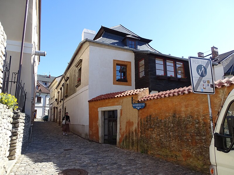
English: Kutná Hora-Vnitřní Město, Kutná Hora District, Central Bohemian Region, Czechia. Barborská 23/3.
|
||||
| Date | Taken on 15 May 2024 | ||||
| Source | Self-photographed | ||||
| Author | ŠJů | ||||
| Permission (Reusing this file) |
I, the copyright holder of this work, hereby publish it under the following license: This file is licensed under the Creative Commons Attribution 4.0 International license. Attribution: ŠJů, Wikimedia Commons
|
File history
Click on a date/time to view the file as it appeared at that time.
| Date/Time | Thumbnail | Dimensions | User | Comment | |
|---|---|---|---|---|---|
| current | 08:51, 24 June 2024 | | 3,648 × 2,736 (3.67 MB) | ŠJů (talk | contribs) | {{Information |Description= {{cs|1=Kutná Hora-Vnitřní Město, okres Kutná Hora. Barborská 23/3.}} {{en|1=Kutná Hora-Vnitřní Město, Kutná Hora District, Central Bohemian Region, Czechia. Barborská 23/3.}} {{location|49.9482642|15.2658278|region:CZ_heading:035}} |Date= {{Taken on|2024-05-15}} |Source={{self-photographed}} |Au... |
You cannot overwrite this file.
File usage on Commons
There are no pages that use this file.