File:La Dray.jpg

Size of this preview: 800 × 600 pixels. Other resolutions: 320 × 240 pixels | 640 × 480 pixels | 1,024 × 768 pixels | 1,280 × 960 pixels | 2,560 × 1,920 pixels | 4,416 × 3,312 pixels.
Original file (4,416 × 3,312 pixels, file size: 2.14 MB, MIME type: image/jpeg)
Captions
Captions
Add a one-line explanation of what this file represents
Summary
edit
| Description |
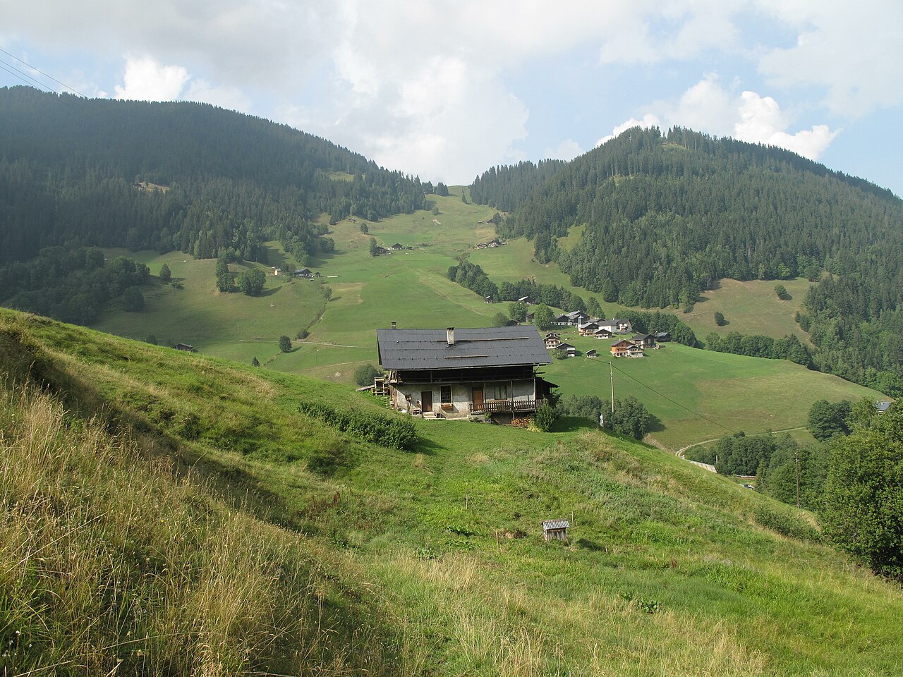
English: The hamlet of la Dray seen from the village "Le Planey" on the heights of Arêches (Savoie), France.
Français : Le hameau de la Dray vu depuis le village du Planey sur les hauteurs d'Arêches, Savoie. |
| Date | |
| Source | Own work |
| Author | Tangopaso |
| Camera location | | View this and other nearby images on: OpenStreetMap |
|---|
Licensing
edit
| I, the copyright holder of this work, release this work into the public domain. This applies worldwide. In some countries this may not be legally possible; if so: I grant anyone the right to use this work for any purpose, without any conditions, unless such conditions are required by law. |
File history
Click on a date/time to view the file as it appeared at that time.
| Date/Time | Thumbnail | Dimensions | User | Comment | |
|---|---|---|---|---|---|
| current | 08:24, 10 November 2012 | | 4,416 × 3,312 (2.14 MB) | Tangopaso (talk | contribs) | =={{int:filedesc}}== {{Information |description= {{en|1=The hamlet of la Dray seen from the village "Le Planey" on the heights of Arêches (Savoie), France.}} {{fr|1=Le hameau de la Dray vu depuis le village du Planey sur les hauteurs d'Arêches, Savoi... |
You cannot overwrite this file.
File usage on Commons
There are no pages that use this file.