File:LocationUnitedKingdomInEurope.png
No higher resolution available.
LocationUnitedKingdomInEurope.png (415 × 422 pixels, file size: 5 KB, MIME type: image/png)
Captions
Captions
Add a one-line explanation of what this file represents
| Description |
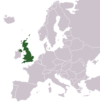
English: Location of United Kingdom in Europe. Based on an empty map from the English Wikipedia |
||||||||
| Date | |||||||||
| Source | Own work | ||||||||
| Author | Richie | ||||||||
| Permission (Reusing this file) |
|

File history
Click on a date/time to view the file as it appeared at that time.
| Date/Time | Thumbnail | Dimensions | User | Comment | |
|---|---|---|---|---|---|
| current | 18:46, 3 June 2007 | | 415 × 422 (5 KB) | Tene~commonswiki (talk | contribs) | Optimised (0;r) |
| 17:01, 22 January 2005 |  | 415 × 422 (6 KB) | Richie (talk | contribs) | Location of United Kingdom in Europe. |
You cannot overwrite this file.
File usage on Commons
The following page uses this file:
File usage on other wikis
The following other wikis use this file:
- Usage on ar.wikipedia.org
- Usage on ar.wikinews.org
- Usage on ca.wikipedia.org
- Usage on de.wikipedia.org
- Usage on en.wikipedia.org
- Usage on es.wikibooks.org
- Usage on he.wikipedia.org
- Usage on id.wikipedia.org
- Usage on mk.wikipedia.org
- Usage on mr.wikipedia.org
- Usage on ms.wikipedia.org
- Usage on oc.wikipedia.org
- Usage on pt.wikibooks.org
- Usage on ro.wikipedia.org
- Usage on si.wikipedia.org
- Usage on smn.wikipedia.org
- Usage on sr.wikinews.org
- Usage on th.wikipedia.org
- Usage on tr.wikipedia.org
- Usage on zh.wikipedia.org