File:Location of the province Huaral in Lima.svg

Size of this PNG preview of this SVG file: 456 × 599 pixels. Other resolutions: 183 × 240 pixels | 365 × 480 pixels | 585 × 768 pixels | 779 × 1,024 pixels | 1,559 × 2,048 pixels | 491 × 645 pixels.
Original file (SVG file, nominally 491 × 645 pixels, file size: 382 KB)
Captions
Captions
Add a one-line explanation of what this file represents
Summary edit
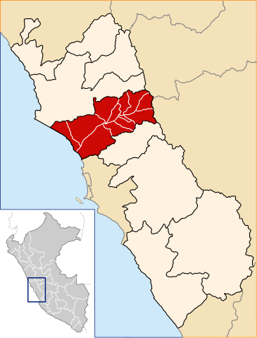
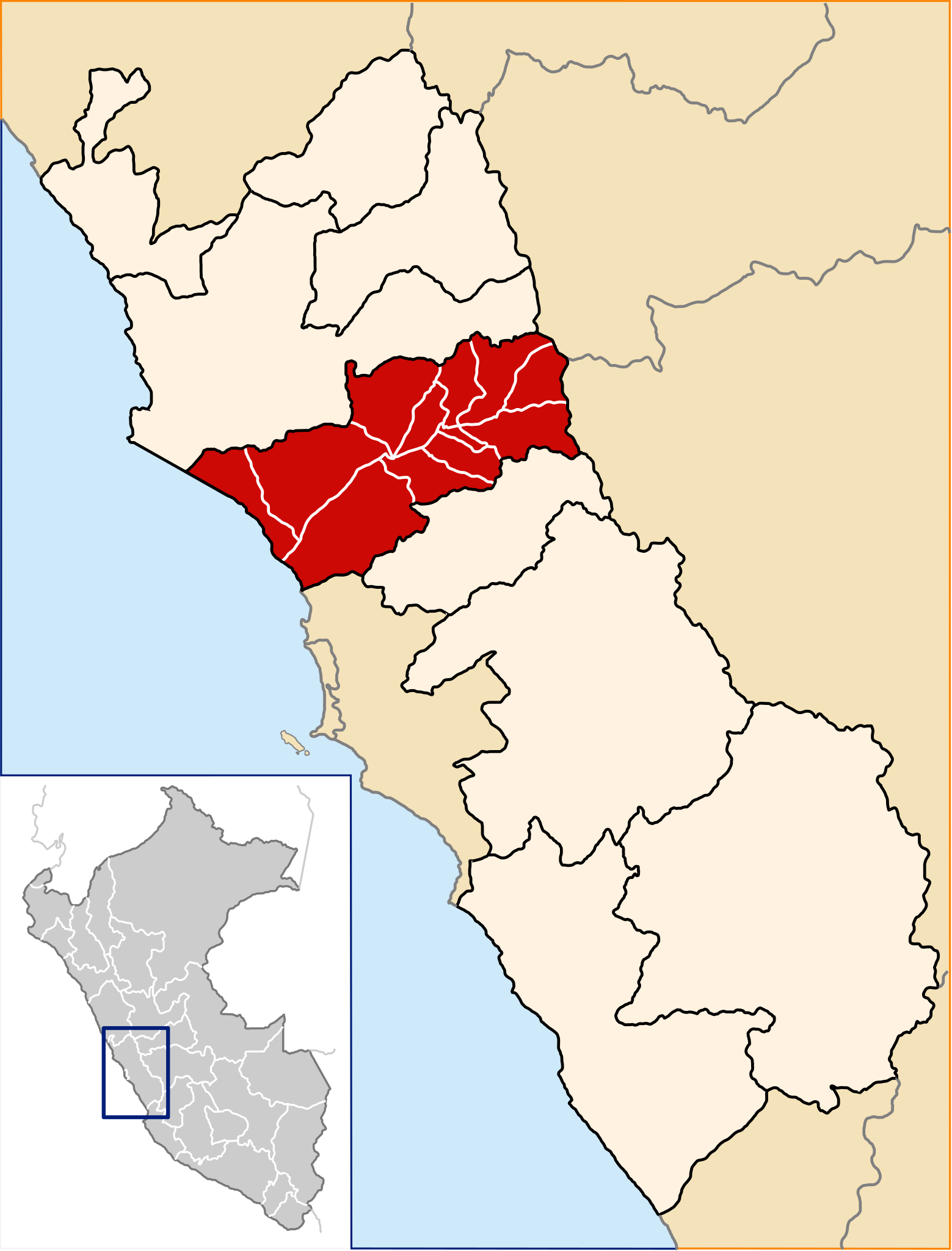
| Description | Location of the province Huaral in the Lima region in Peru (Map) |
| Date | |
| Source | Own work |
| Author | AgainErick |
| Permission (Reusing this file) |
GFDL |
Licensing edit
I, the copyright holder of this work, hereby publish it under the following licenses:

|
Permission is granted to copy, distribute and/or modify this document under the terms of the GNU Free Documentation License, Version 1.2 or any later version published by the Free Software Foundation; with no Invariant Sections, no Front-Cover Texts, and no Back-Cover Texts. A copy of the license is included in the section entitled GNU Free Documentation License. |
This file is licensed under the Creative Commons Attribution-Share Alike 3.0 Unported, 2.5 Generic, 2.0 Generic and 1.0 Generic license.
- You are free:
- to share – to copy, distribute and transmit the work
- to remix – to adapt the work
- Under the following conditions:
- attribution – You must give appropriate credit, provide a link to the license, and indicate if changes were made. You may do so in any reasonable manner, but not in any way that suggests the licensor endorses you or your use.
- share alike – If you remix, transform, or build upon the material, you must distribute your contributions under the same or compatible license as the original.
You may select the license of your choice.
File history
Click on a date/time to view the file as it appeared at that time.
| Date/Time | Thumbnail | Dimensions | User | Comment | |
|---|---|---|---|---|---|
| current | 19:41, 20 December 2007 | | 491 × 645 (382 KB) | AgainErick (talk | contribs) | == Summary == {{Information |Description=Location of the province Huaral in the Lima region in Peru (Map) |Source=own work |Date=december 20, 2007 |Author=Eric Bronder |Permission=GFDL |other_versions= }} [[Category:Locator maps of p |
You cannot overwrite this file.
File usage on Commons
The following 2 pages use this file:
File usage on other wikis
The following other wikis use this file:
- Usage on ay.wikipedia.org
- Waral jisk'a suyu
- Waral jisk'a t'aqa suyu
- Atavillos Alto jisk'a t'aqa suyu
- Atavillos Bajo jisk'a t'aqa suyu
- Awqallama jisk'a t'aqa suyu
- Antamarka jisk'a t'aqa suyu
- Chankay jisk'a t'aqa suyu
- Iwari jisk'a t'aqa suyu
- Lampiyan jisk'a t'aqa suyu
- Pakaraw jisk'a t'aqa suyu
- Qaraq jisk'a t'aqa suyu
- San Miguel Aqu jisk'a t'aqa suyu
- Sumpilka jisk'a t'aqa suyu
- Usage on de.wikipedia.org
- Usage on en.wikipedia.org
- Usage on es.wikipedia.org
- Provincia de Huaral
- Distrito de Atavillos Alto
- Distrito de Atavillos Bajo
- Distrito de Ihuarí
- Distrito de Veintisiete de Noviembre
- Distrito de Lampián
- Distrito de Pacaraos
- Distrito de Santa Cruz de Andamarca
- Distrito de San Miguel de Acos
- Distrito de Aucallama
- Distrito de Huaral
- Distrito de Sumbilca
- Gobierno Regional de Lima
- José Caparrós
- Elecciones regionales de Lima de 2010
- Elecciones regionales de Lima de 2014
- Usage on fa.wikipedia.org
- Usage on fr.wikipedia.org
- Usage on ia.wikipedia.org
- Usage on incubator.wikimedia.org
- Usage on it.wikipedia.org
- Usage on ka.wikipedia.org
View more global usage of this file.