File:Maňávka, fingerpost (01).jpg
Size of this preview: 379 × 600 pixels. Other resolutions: 151 × 240 pixels | 303 × 480 pixels | 485 × 768 pixels | 647 × 1,024 pixels | 1,840 × 2,912 pixels.
Original file (1,840 × 2,912 pixels, file size: 2.1 MB, MIME type: image/jpeg)
Captions
Captions
Add a one-line explanation of what this file represents
Summary edit
.jpg&action=edit§ion=1)
| Description |
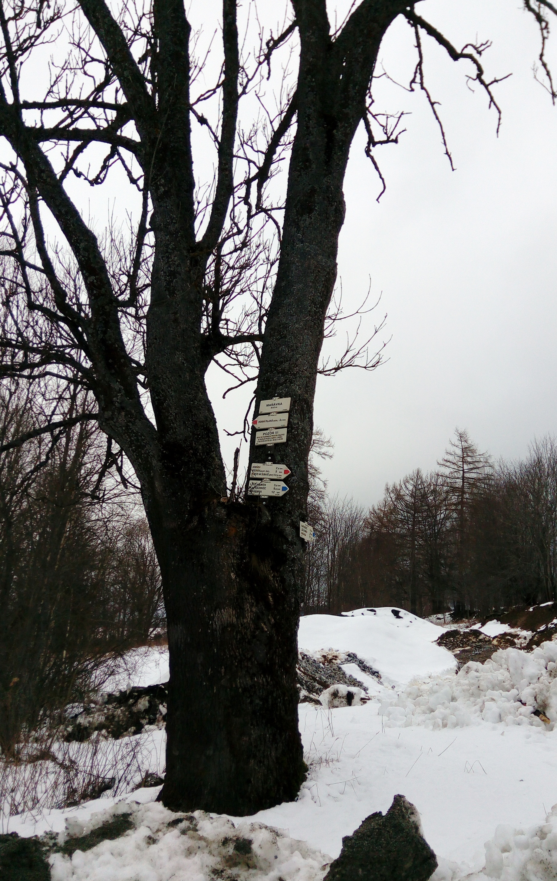
Čeština: Rozcestník Maňávka mezi Hodňovem u Horní Planou na rozcestí Nové a Soutěžní cesty, okres Český Krumlov, Jihočeský kraj.
English: Fingerpost west of the village of Hodňov, part of Horní Planá, Český Krumlov District, South Bohemian Region, Czechia. |
| Date | |
| Source | Own work |
| Author | Czeva |
| Camera location | | View this and other nearby images on: OpenStreetMap |
|---|
.jpg¶ms=048.788834_N_0014.045078_E_globe:Earth_type:camera__&language=en)
Licensing edit
.jpg&action=edit§ion=2)
This file is licensed under the Creative Commons Attribution-Share Alike 3.0 Unported license.
Attribution: Czeva
- You are free:
- to share – to copy, distribute and transmit the work
- to remix – to adapt the work
- Under the following conditions:
- attribution – You must give appropriate credit, provide a link to the license, and indicate if changes were made. You may do so in any reasonable manner, but not in any way that suggests the licensor endorses you or your use.
- share alike – If you remix, transform, or build upon the material, you must distribute your contributions under the same or compatible license as the original.
File history
Click on a date/time to view the file as it appeared at that time.
| Date/Time | Thumbnail | Dimensions | User | Comment | |
|---|---|---|---|---|---|
| current | 15:46, 26 March 2018 | | 1,840 × 2,912 (2.1 MB) | Czeva (talk | contribs) | VicuñaUploader 1.23 |
You cannot overwrite this file.
File usage on Commons
The following 2 pages use this file:
.jpg&oldid=471362942)