File:Madagascar-Melaky Region.png

Size of this preview: 387 × 599 pixels. Other resolutions: 155 × 240 pixels | 310 × 480 pixels | 496 × 768 pixels | 662 × 1,024 pixels | 1,403 × 2,171 pixels.
Original file (1,403 × 2,171 pixels, file size: 61 KB, MIME type: image/png)
Captions
Captions
Add a one-line explanation of what this file represents
Summary edit
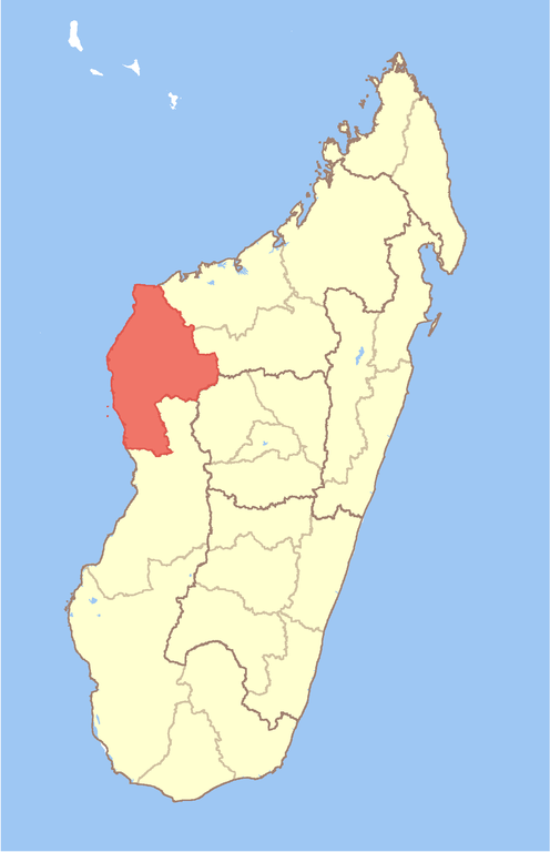
| Description | Map of Madagascar with Melaky Region highlighted |
| Date | |
| Source | Own work |
| Author | Sadalmelik |
Licensing edit
I, the copyright holder of this work, hereby publish it under the following licenses:

|
Permission is granted to copy, distribute and/or modify this document under the terms of the GNU Free Documentation License, Version 1.2 or any later version published by the Free Software Foundation; with no Invariant Sections, no Front-Cover Texts, and no Back-Cover Texts. A copy of the license is included in the section entitled GNU Free Documentation License. |
This file is licensed under the Creative Commons Attribution-Share Alike Attribution-Share Alike 4.0 International, 3.0 Unported, 2.5 Generic, 2.0 Generic and 1.0 Generic license.
- You are free:
- to share – to copy, distribute and transmit the work
- to remix – to adapt the work
- Under the following conditions:
- attribution – You must give appropriate credit, provide a link to the license, and indicate if changes were made. You may do so in any reasonable manner, but not in any way that suggests the licensor endorses you or your use.
- share alike – If you remix, transform, or build upon the material, you must distribute your contributions under the same or compatible license as the original.
You may select the license of your choice.
File history
Click on a date/time to view the file as it appeared at that time.
| Date/Time | Thumbnail | Dimensions | User | Comment | |
|---|---|---|---|---|---|
| current | 10:52, 24 February 2008 | | 1,403 × 2,171 (61 KB) | Sadalmelik (talk | contribs) | {{Information |Description=Map of Madagascar with Melaky Region highlighted |Source=self-made |Date=2008-02-24 |Author= Sadalmelik |Permission= |other_versions= }} Category:Maps of Madagascar == Licensing == {{self|GFDL|cc-by-sa-a |
You cannot overwrite this file.
File usage on Commons
The following 2 pages use this file:
File usage on other wikis
The following other wikis use this file:
- Usage on ar.wikipedia.org
- Usage on bg.wikipedia.org
- Usage on br.wikipedia.org
- Usage on da.wikipedia.org
- Usage on el.wikipedia.org
- Usage on en.wikipedia.org
- Ambatomainty
- Besalampy
- Tambohorano
- Maintirano
- Antsalova
- Morafenobe
- Melaky
- Template:Melaky Region
- Ambolodia Sud
- Bekodoka
- Mahabe
- Marovoay Sud
- Soanenga
- Antsahidoha Bebao
- Berevo-Ranobe
- Andabotoka
- Andranovao
- Ankisatra
- Antsondrodava
- Bebakony Sud
- Betanatanana
- Mafaijijo
- Marohazo
- Maromavo
- Veromanga
- Trangahy
- Soahany
- Bekopaka
- Masoarivo, Antsalova
- Andramy
- Beravina
- Antsalova District
- Besalampy District
- Maintirano District
- Morafenobe District
- Wikipedia:WikiProject Maps/Conventions/Area maps
- Ambatomainty (district)
- User:GerardM/Regions of Madagascar
- Sarodrano
- Bemarivo
- Marotsialeha
- Makaraingo
- Bemaraha Atsinanana
- Bemokotra Sud
- Andrea, Melaky
View more global usage of this file.