File:Manure spreading Hlokozi 2007 11 29.jpg
Size of this preview: 741 × 599 pixels. Other resolutions: 297 × 240 pixels | 593 × 480 pixels | 950 × 768 pixels | 1,266 × 1,024 pixels | 1,476 × 1,194 pixels.
Original file (1,476 × 1,194 pixels, file size: 407 KB, MIME type: image/jpeg)
Captions
Captions
Add a one-line explanation of what this file represents
Summary
edit
| Description |
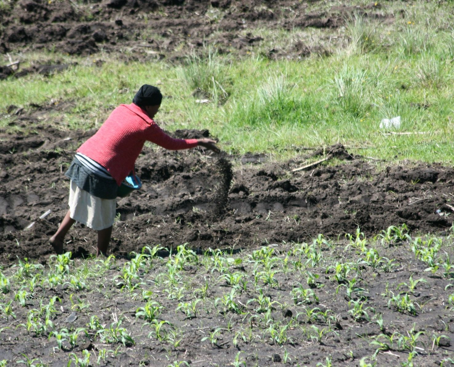
Afrikaans: 'n Vrou strooi kraalmis oor 'n onlangs geploegde land te Hlokozi, KwaZulu-Natal
English: Farmer spreading kraal manure (decomposing manure from cattle pens) on recently ploughed land; Hlokozi, KwaZulu-Natal. |
| Date | |
| Source | Own work |
| Author | Alandmanson |
| Camera location | | View this and other nearby images on: OpenStreetMap |
|---|
Licensing
edit
I, the copyright holder of this work, hereby publish it under the following license:
This file is licensed under the Creative Commons Attribution-Share Alike 4.0 International license.
- You are free:
- to share – to copy, distribute and transmit the work
- to remix – to adapt the work
- Under the following conditions:
- attribution – You must give appropriate credit, provide a link to the license, and indicate if changes were made. You may do so in any reasonable manner, but not in any way that suggests the licensor endorses you or your use.
- share alike – If you remix, transform, or build upon the material, you must distribute your contributions under the same or compatible license as the original.
File history
Click on a date/time to view the file as it appeared at that time.
| Date/Time | Thumbnail | Dimensions | User | Comment | |
|---|---|---|---|---|---|
| current | 13:38, 21 June 2016 | | 1,476 × 1,194 (407 KB) | Alandmanson (talk | contribs) | User created page with UploadWizard |
You cannot overwrite this file.
File usage on Commons
The following 2 pages use this file:
File usage on other wikis
The following other wikis use this file:
- Usage on af.wikipedia.org
- Usage on ar.wikipedia.org
- Usage on az.wikipedia.org
- Usage on bew.wikipedia.org
- Usage on en.wikipedia.org
- Usage on en.wikiversity.org
- Usage on fa.wikipedia.org
- Usage on hi.wikipedia.org
- Usage on id.wikipedia.org
- Usage on incubator.wikimedia.org
- Usage on mg.wikipedia.org
- Usage on mn.wikipedia.org
- Usage on no.wikipedia.org
- Usage on rw.wikipedia.org
- Usage on si.wikipedia.org
- Usage on ta.wikipedia.org
- Usage on yo.wikipedia.org
- Usage on zh.wikipedia.org