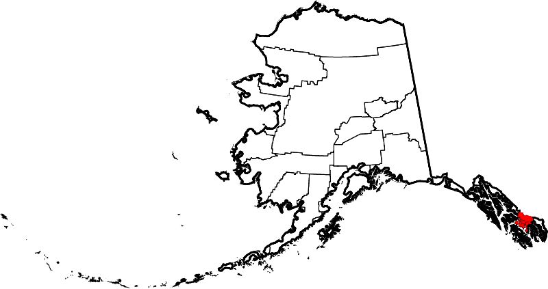
File:Map of Alaska highlighting Wrangell City and Borough.svg

Size of this PNG preview of this SVG file: 800 × 423 pixels. Other resolutions: 320 × 169 pixels | 640 × 338 pixels | 1,024 × 541 pixels | 1,280 × 677 pixels | 2,560 × 1,353 pixels | 1,470 × 777 pixels.
Original file (SVG file, nominally 1,470 × 777 pixels, file size: 644 KB)
Captions
Captions
Add a one-line explanation of what this file represents
Summary
edit
| Description | |
| Date | |
| Source | Own work |
| Author | Dtbohrer |
| Other versions |
 |
| SVG development |
Licensing
edit
| I, the copyright holder of this work, release this work into the public domain. This applies worldwide. In some countries this may not be legally possible; if so: I grant anyone the right to use this work for any purpose, without any conditions, unless such conditions are required by law. |
File history
Click on a date/time to view the file as it appeared at that time.
| Date/Time | Thumbnail | Dimensions | User | Comment | |
|---|---|---|---|---|---|
| current | 20:11, 25 June 2024 | | 1,470 × 777 (644 KB) | Nux (talk | contribs) | uniform colors with good contrast |
| 22:12, 25 January 2009 |  | 1,470 × 777 (412 KB) | Niagara (talk | contribs) | {{Information |Description={{en|1=Map of Alaska highlighting Wrangell City and Borough}} |Source=self made |Author=Dtbohrer |Date=January 25, 2009 |Permission= |other_versions=[[File:Map of Alaska high |
You cannot overwrite this file.
File usage on Commons
The following page uses this file:
File usage on other wikis
The following other wikis use this file:
- Usage on ar.wikipedia.org
- Usage on arz.wikipedia.org
- Usage on ca.wikipedia.org
- Usage on cy.wikipedia.org
- Usage on en.wikipedia.org
- List of boroughs and census areas in Alaska
- Meyers Chuck, Wrangell
- Wrangell, Alaska
- Clarence Strait
- Frederick Sound
- Sumner Strait
- Zimovia Strait
- Etolin Island
- Wikipedia:WikiProject Alaska
- Zarembo Island
- Woronkofski Island
- Wrangell Island
- User:Nyttend/County templates/AK
- St. Philip's Episcopal Church (Wrangell, Alaska)
- Kadin Island
- Boundary Range
- Template:WrangellAK-geo-stub
- National Register of Historic Places listings in Wrangell, Alaska
- Stikine Strait
- Deer Island (Alaska Panhandle)
- Bradfield Canal
- Blake Channel
- The Narrows (Alaska)
- Eastern Passage (Alaska)
- Chichagof Pass
- Thoms Place, Wrangell
- Etolin Canoe
- Brownson Island
- Vixen Inlet
- Template:Wrangell Borough, Alaska
- Judith Ann
- Chief Shakes Historic Site
- Sergief Island
- Muffin Islands
- File talk:Map of Alaska highlighting Wrangell City and Borough.svg
- Usage on es.wikipedia.org
- Usage on eu.wikipedia.org
- Usage on fa.wikipedia.org
- Usage on fi.wikipedia.org
- Usage on fr.wikipedia.org
- Usage on ga.wikipedia.org
- Usage on ht.wikipedia.org
- Usage on hu.wikipedia.org
View more global usage of this file.