File:Map of California highlighting Mendocino County.svg

Size of this PNG preview of this SVG file: 521 × 599 pixels. Other resolutions: 209 × 240 pixels | 417 × 480 pixels | 667 × 768 pixels | 890 × 1,024 pixels | 1,780 × 2,048 pixels | 916 × 1,054 pixels.
Original file (SVG file, nominally 916 × 1,054 pixels, file size: 151 KB)
Captions
Captions
Add a one-line explanation of what this file represents
Summary
edit
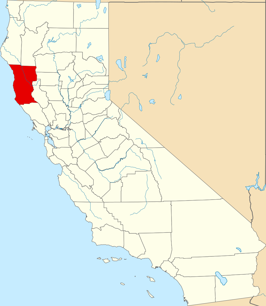
English: Locator map showing Mendocino County — in northwestern coastal California.
David Benbennick made this map.
For more information, see Commons:United States county locator maps.
| I, the copyright holder of this work, release this work into the public domain. This applies worldwide. In some countries this may not be legally possible; if so: I grant anyone the right to use this work for any purpose, without any conditions, unless such conditions are required by law. |
File history
Click on a date/time to view the file as it appeared at that time.
| Date/Time | Thumbnail | Dimensions | User | Comment | |
|---|---|---|---|---|---|
| current | 23:01, 25 June 2024 | | 916 × 1,054 (151 KB) | Nux (talk | contribs) | uniform colors with good contrast |
| 10:26, 12 February 2006 |  | 9,164 × 10,536 (229 KB) | David Benbennick (talk | contribs) | {{subst:User:Dbenbenn/clm|county=Mendocino County|state=California}} |
You cannot overwrite this file.
File usage on Commons
The following 20 pages use this file:
- Category:Agriculture in Mendocino County, California
- Category:Airports in Mendocino County, California
- Category:Bridges in Mendocino County, California
- Category:Deaths in Mendocino County, California
- Category:Education in Mendocino County, California
- Category:Geography of Mendocino County, California
- Category:History of Mendocino County, California
- Category:Maps of Mendocino County, California
- Category:Mendocino County, California
- Category:Mendocino County, California in the 21st century
- Category:Mountains of Mendocino County, California
- Category:Native American tribes in Mendocino County, California
- Category:Nature of Mendocino County, California
- Category:People of Mendocino County, California
- Category:Rivers of Mendocino County, California
- Category:Roads in Mendocino County, California
- Category:Transport in Mendocino County, California
- Category:Views from automobiles in Mendocino County, California
- Category:Wildfires in Mendocino County, California
- Category:Wine tasting rooms in Mendocino County, California
File usage on other wikis
The following other wikis use this file:
- Usage on ar.wikipedia.org
- Usage on arz.wikipedia.org
- Usage on az.wikipedia.org
- Usage on ban.wikipedia.org
- Usage on bpy.wikipedia.org
- Usage on ca.wikipedia.org
- Fort Bragg (Califòrnia)
- Laytonville
- Mendocino
- Point Arena
- Talmage (Califòrnia)
- Ukiah (Califòrnia)
- Willits
- Four Pines
- Llista de comtats de Califòrnia
- Plantilla:Comtat de Mendocino
- Categoria:Entitats de població del comtat de Mendocino
- Reserva índia Round Valley
- Reserva Coyote Valley
- Ranxeria Guidiville de Califòrnia
- Ranxeria Hopland
- Ranxeria Manchester
- Nació Pomo Pinoleville
- Tribu Potter Valley
- Ranxeria Sherwood Valley
- Ranxeria Redwood Valley
- Katos
- Usage on ceb.wikipedia.org
- Usage on ce.wikipedia.org
- Usage on cs.wikipedia.org
- Usage on cy.wikipedia.org
- Usage on da.wikipedia.org
- Usage on de.wikipedia.org
View more global usage of this file.