File:Map of Idaho highlighting Idaho County.svg

Size of this PNG preview of this SVG file: 389 × 600 pixels. Other resolutions: 155 × 240 pixels | 311 × 480 pixels | 498 × 768 pixels | 664 × 1,024 pixels | 1,328 × 2,048 pixels | 1,265 × 1,951 pixels.
Original file (SVG file, nominally 1,265 × 1,951 pixels, file size: 82 KB)
Captions
Captions
Add a one-line explanation of what this file represents
 This media file has been nominated for deletion since 25 May 2024. To discuss it, please visit the nomination page.
Do not remove this tag until the deletion nomination is closed. Reason for the nomination: This map does not highlight Idaho County
| |||
| |||
Summary
edit
| Description |
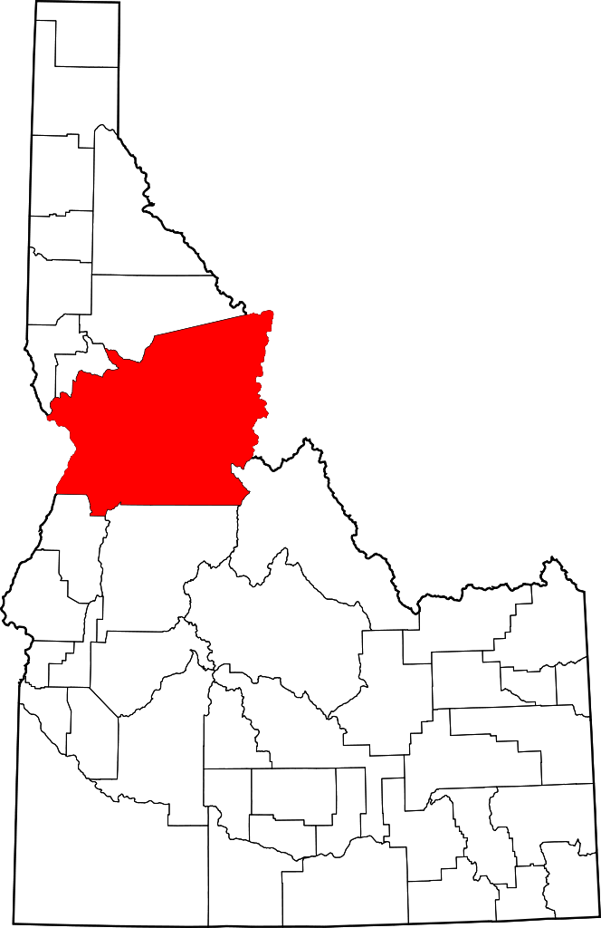
English: This is a locator map showing Idaho County in Idaho. For more information, see Commons:United States county locator maps. |
| Date | |
| Source |
Own work: English: The maps use data from nationalatlas.gov, specifically countyp020.tar.gz on the Raw Data Download page. The maps also use state outline data from statesp020.tar.gz. The Florida maps use hydrogm020.tar.gz to display Lake Okeechobee. |
| Author | David Benbennick |
Licensing
edit
| I, the copyright holder of this work, release this work into the public domain. This applies worldwide. In some countries this may not be legally possible; if so: I grant anyone the right to use this work for any purpose, without any conditions, unless such conditions are required by law. |
File history
Click on a date/time to view the file as it appeared at that time.
| Date/Time | Thumbnail | Dimensions | User | Comment | |
|---|---|---|---|---|---|
| current | 20:12, 19 June 2024 | | 1,265 × 1,951 (82 KB) | Nux (talk | contribs) | fix rendering (remove clipping) |
| 11:07, 12 February 2006 |  | 5,061 × 7,805 (109 KB) | David Benbennick (talk | contribs) | {{subst:User:Dbenbenn/clm|county=Idaho County|state=Idaho}} |
You cannot overwrite this file.
File usage on Commons
The following 3 pages use this file:
File usage on other wikis
The following other wikis use this file:
- Usage on ar.wikipedia.org
- Usage on bg.wikipedia.org
- Usage on bpy.wikipedia.org
- Usage on ca.wikipedia.org
- Usage on cdo.wikipedia.org
- Usage on ceb.wikipedia.org
- Usage on ce.wikipedia.org
- Usage on cy.wikipedia.org
- Usage on de.wikipedia.org
- Usage on en.wikipedia.org
- Nez Perce
- List of counties in Idaho
- Idaho County, Idaho
- Cottonwood, Idaho
- Ferdinand, Idaho
- Grangeville, Idaho
- Kamiah, Idaho
- Kooskia, Idaho
- Riggins, Idaho
- Stites, Idaho
- White Bird, Idaho
- Mount Idaho, Idaho
- Warren, Idaho
- Template:Idaho County, Idaho
- User:Nyttend/County templates/ID
- Burgdorf, Idaho
- National Register of Historic Places listings in Idaho County, Idaho
View more global usage of this file.