File:Map of Kentucky highlighting Barren County.svg

Size of this PNG preview of this SVG file: 799 × 344 pixels. Other resolutions: 320 × 138 pixels | 640 × 276 pixels | 1,024 × 441 pixels | 1,280 × 551 pixels | 2,560 × 1,102 pixels | 2,708 × 1,166 pixels.
Original file (SVG file, nominally 2,708 × 1,166 pixels, file size: 112 KB)
Captions
Captions
Add a one-line explanation of what this file represents
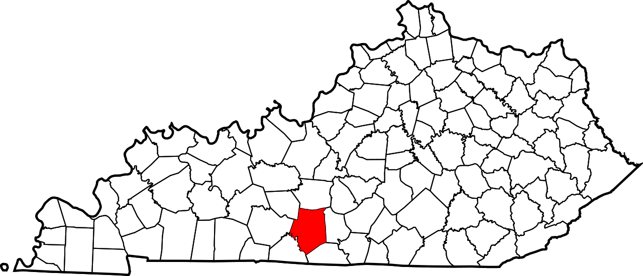
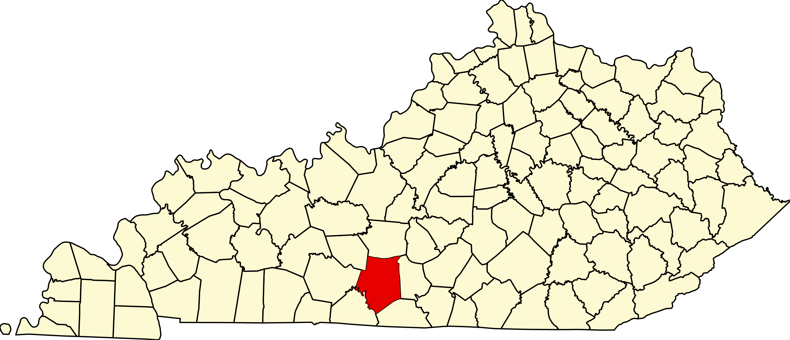
This is a locator map showing Barren County in Kentucky.
David Benbennick made this map. For more information, see Commons:United States county locator maps.
| I, the copyright holder of this work, release this work into the public domain. This applies worldwide. In some countries this may not be legally possible; if so: I grant anyone the right to use this work for any purpose, without any conditions, unless such conditions are required by law. |
File history
Click on a date/time to view the file as it appeared at that time.
| Date/Time | Thumbnail | Dimensions | User | Comment | |
|---|---|---|---|---|---|
| current | 04:02, 25 June 2024 | | 2,708 × 1,166 (112 KB) | Nux (talk | contribs) | fix rendering (remove clipping) |
| 12:20, 12 February 2006 |  | 6,770 × 2,916 (127 KB) | David Benbennick (talk | contribs) | {{subst:User:Dbenbenn/clm|county=Barren County|state=Kentucky}} |
You cannot overwrite this file.
File usage on Commons
The following 4 pages use this file:
File usage on other wikis
The following other wikis use this file:
- Usage on ar.wikipedia.org
- Usage on azb.wikipedia.org
- Usage on bg.wikipedia.org
- Usage on bpy.wikipedia.org
- Usage on cdo.wikipedia.org
- Usage on ceb.wikipedia.org
- Usage on ce.wikipedia.org
- Usage on cs.wikipedia.org
- Usage on cy.wikipedia.org
- Usage on de.wikipedia.org
- Usage on en.wikipedia.org
- Barren County, Kentucky
- Cave City, Kentucky
- Glasgow, Kentucky
- Hiseville, Kentucky
- Park City, Kentucky
- Eighty Eight, Kentucky
- Barren River Lake
- List of counties in Kentucky
- Barren River
- Template:Barren County, Kentucky
- User:Nyttend/County templates/KY/1
- Lecta, Kentucky
- National Register of Historic Places listings in Barren County, Kentucky
- Category:Populated places in Barren County, Kentucky
- Park, Kentucky
- Nobob, Kentucky
- Goodnight, Kentucky
- Etoile, Kentucky
- Oil City, Kentucky
- Tracy, Kentucky
- Bon Ayr, Kentucky
- Apple Grove, Kentucky
- Bear Wallow, Barren County, Kentucky
- Kino, Kentucky
- Slick Rock, Kentucky
- Finney, Kentucky
- Lucas, Kentucky
- Haywood, Kentucky
- Temple Hill, Kentucky
- Bristletown, Kentucky
- Austin, Kentucky
- Beckton, Kentucky
View more global usage of this file.