File:Map of Montana highlighting Hill County.svg

Size of this PNG preview of this SVG file: 800 × 461 pixels. Other resolutions: 320 × 185 pixels | 640 × 369 pixels | 1,024 × 590 pixels | 1,280 × 738 pixels | 2,560 × 1,476 pixels | 2,043 × 1,178 pixels.
Original file (SVG file, nominally 2,043 × 1,178 pixels, file size: 100 KB)
Captions
Captions
Add a one-line explanation of what this file represents
Summary
edit
| Description |
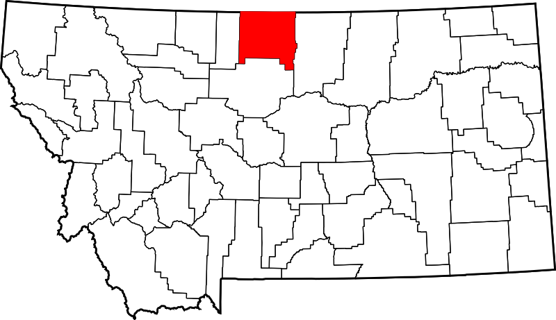
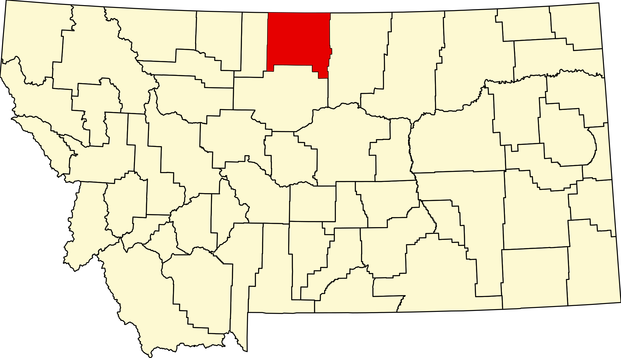
English: This is a locator map showing Hill County in Montana. For more information, see Commons:United States county locator maps. |
| Date | |
| Source |
Own work: English: The maps use data from nationalatlas.gov, specifically countyp020.tar.gz on the Raw Data Download page. The maps also use state outline data from statesp020.tar.gz. The Florida maps use hydrogm020.tar.gz to display Lake Okeechobee. |
| Author | David Benbennick |
Licensing
edit
| I, the copyright holder of this work, release this work into the public domain. This applies worldwide. In some countries this may not be legally possible; if so: I grant anyone the right to use this work for any purpose, without any conditions, unless such conditions are required by law. |
File history
Click on a date/time to view the file as it appeared at that time.
| Date/Time | Thumbnail | Dimensions | User | Comment | |
|---|---|---|---|---|---|
| current | 00:20, 25 June 2024 | | 2,043 × 1,178 (100 KB) | Nux (talk | contribs) | fix rendering (remove clipping) |
| 13:29, 12 February 2006 |  | 9,194 × 5,303 (122 KB) | David Benbennick (talk | contribs) | {{subst:User:Dbenbenn/clm|county=Hill County|state=Montana|type=county}} |
You cannot overwrite this file.
File usage on Commons
The following 5 pages use this file:
File usage on other wikis
The following other wikis use this file:
- Usage on ar.wikipedia.org
- Usage on bg.wikipedia.org
- Usage on bpy.wikipedia.org
- Usage on cdo.wikipedia.org
- Usage on ceb.wikipedia.org
- Usage on cy.wikipedia.org
- Usage on de.wikipedia.org
- Usage on en.wikipedia.org
- List of counties in Montana
- Hill County, Montana
- Rocky Boy's Agency, Montana
- Beaver Creek, Montana
- Gildford, Montana
- Havre, Montana
- Havre North, Montana
- Herron, Montana
- Hingham, Montana
- Inverness, Montana
- Kremlin, Montana
- Rudyard, Montana
- Saddle Butte, Montana
- Sangrey, Montana
- St. Pierre, Montana
- West Havre, Montana
- Azure, Montana
- Box Elder, Montana
- Parker School, Montana
- Fort Assinniboine
- Turtle Mountain Indian Reservation
- Laredo, Montana
- User:Nyttend/County templates/MT
- Template:Hill County, Montana
- List of lakes of Hill County, Montana
- List of mountains in Hill County, Montana
- United States Post Office and Courthouse–Havre Main
- Category:Populated places in Hill County, Montana
- Carnegie Public Library (Havre, Montana)
- H. Earl Clack House
- Havre Residential Historic District
- Heltne Oil Company
- Kiwanis Meeting Hall
- Too Close for Comfort Site
- Young–Almas House
- Rocky Boy West, Montana
- East End Colony, Montana
- Gildford Colony, Montana
View more global usage of this file.