File:Map of Palmyra, Missouri, 1860.jpg

Size of this preview: 416 × 599 pixels. Other resolutions: 167 × 240 pixels | 333 × 480 pixels | 533 × 768 pixels | 711 × 1,024 pixels | 2,500 × 3,600 pixels.
Original file (2,500 × 3,600 pixels, file size: 5.21 MB, MIME type: image/jpeg)
Captions
Captions
Add a one-line explanation of what this file represents
Summary edit
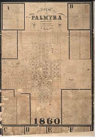
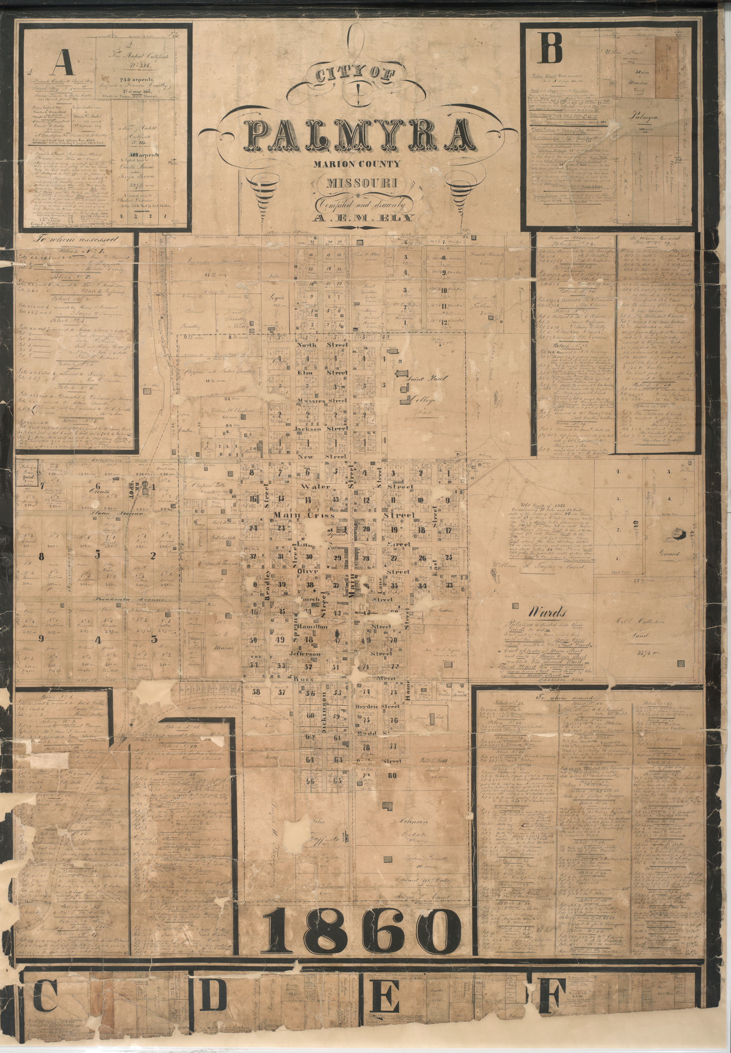
| Description | Map of Palmyra, Missouri, 1860, compiled and drawn by A. E. M. Ely | ||||||
| Date | |||||||
| Source | https://www.sos.mo.gov/CMSImages/Archives/Bicentennial/Conflict/07m08.jpg via https://www.sos.mo.gov/Archives/Bicentennial/Summary | ||||||
| Author | A. E. M. Ely | ||||||
| Permission (Reusing this file) |
_
|


File history
Click on a date/time to view the file as it appeared at that time.
| Date/Time | Thumbnail | Dimensions | User | Comment | |
|---|---|---|---|---|---|
| current | 03:36, 6 October 2020 | | 2,500 × 3,600 (5.21 MB) | Taterian (talk | contribs) | {{Information |description=Map of Palmyra, Missouri, 1860, compiled and drawn by A. E. M. Ely |date=1860 |source=https://www.sos.mo.gov/CMSImages/Archives/Bicentennial/Conflict/07m08.jpg via https://www.sos.mo.gov/Archives/Bicentennial/Summary |author=A. E. M. Ely |permission=_{{PD-US}} |other versions= }} Category:Old maps of Missouri |
You cannot overwrite this file.
File usage on Commons
There are no pages that use this file.
File usage on other wikis
The following other wikis use this file:
- Usage on en.wikipedia.org