File:Map of Tennessee highlighting Blount County.svg

Size of this PNG preview of this SVG file: 800 × 196 pixels. Other resolutions: 320 × 78 pixels | 640 × 157 pixels | 1,024 × 251 pixels | 1,280 × 314 pixels | 2,560 × 628 pixels | 3,907 × 958 pixels.
Original file (SVG file, nominally 3,907 × 958 pixels, file size: 88 KB)
Captions
Captions
Add a one-line explanation of what this file represents
Summary
edit
| Description |
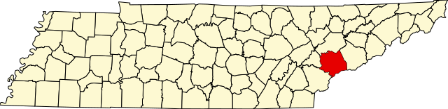
English: This is a locator map showing Blount County in Tennessee. For more information, see Commons:United States county locator maps. |
| Date | |
| Source |
Own work: English: The maps use data from nationalatlas.gov, specifically countyp020.tar.gz on the Raw Data Download page. The maps also use state outline data from statesp020.tar.gz. The Florida maps use hydrogm020.tar.gz to display Lake Okeechobee. |
| Author | David Benbennick |
Licensing
edit
| I, the copyright holder of this work, release this work into the public domain. This applies worldwide. In some countries this may not be legally possible; if so: I grant anyone the right to use this work for any purpose, without any conditions, unless such conditions are required by law. |
File history
Click on a date/time to view the file as it appeared at that time.
| Date/Time | Thumbnail | Dimensions | User | Comment | |
|---|---|---|---|---|---|
| current | 02:30, 25 June 2024 | 3,907 × 958 (88 KB) | Nux (talk | contribs) | fix rendering (remove clipping) | |
| 16:31, 12 February 2006 | 7,814 × 1,916 (98 KB) | David Benbennick (talk | contribs) | {{subst:User:Dbenbenn/clm|county=Blount County|state=Tennessee|type=county}} |
You cannot overwrite this file.
File usage on Commons
The following 4 pages use this file:
File usage on other wikis
The following other wikis use this file:
- Usage on ar.wikipedia.org
- Usage on bg.wikipedia.org
- Usage on bpy.wikipedia.org
- Usage on cdo.wikipedia.org
- Usage on ceb.wikipedia.org
- Usage on cs.wikipedia.org
- Usage on cy.wikipedia.org
- Usage on de.wikipedia.org
- Liste der Countys in Tennessee
- Blount County (Tennessee)
- Vonore
- Maryville (Tennessee)
- Liste der Einträge im National Register of Historic Places im Blount County (Tennessee)
- Alcoa (Tennessee)
- Seymour (Tennessee)
- Eagleton Village
- Friendsville (Tennessee)
- Louisville (Tennessee)
- Rockford (Tennessee)
- Vorlage:Navigationsleiste Orte im Blount County (Tennessee)
- Usage on en.wikipedia.org
- Blount County, Tennessee
- Alcoa, Tennessee
- Eagleton Village, Tennessee
- Friendsville, Tennessee
- Louisville, Tennessee
- Maryville, Tennessee
- Rockford, Tennessee
- Townsend, Tennessee
- Seymour, Tennessee
- Fort Loudoun Lake
- Happy Valley, Blount County, Tennessee
- Pistol Creek
- Heritage High School (Blount County, Tennessee)
- Walland, Tennessee
- Template:Blount County, Tennessee
- User:Nyttend/County templates/TN
- Pearson Springs Park
- National Register of Historic Places listings in Blount County, Tennessee
- List of counties in Tennessee
- Category:Populated places in Blount County, Tennessee
- Wildwood, Tennessee
- Tallassee, Tennessee
- Fairfield, Blount County, Tennessee
- Blackberry Farm (resort)
- Disco, Tennessee
- Bote Mountain
- Top of the World, Tennessee
- Tuckaleechee Caverns
- Template:BlountCountyTN-geo-stub
View more global usage of this file.