File:Map of Texas highlighting El Paso County.svg

Size of this PNG preview of this SVG file: 631 × 600 pixels. Other resolutions: 253 × 240 pixels | 505 × 480 pixels | 808 × 768 pixels | 1,078 × 1,024 pixels | 2,155 × 2,048 pixels | 1,386 × 1,317 pixels.
Original file (SVG file, nominally 1,386 × 1,317 pixels, file size: 222 KB)
Captions
Captions
Add a one-line explanation of what this file represents
Summary
edit
| Description |
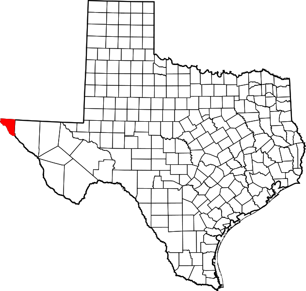
English: This is a locator map showing El Paso County in West Texas.
|
| Date | |
| Source |
Own work: English: The maps use data from nationalatlas.gov, specifically countyp020.tar.gz on the Raw Data Download page. The maps also use state outline data from statesp020.tar.gz. The Florida maps use hydrogm020.tar.gz to display Lake Okeechobee. |
| Author | David Benbennick |
Licensing
edit
| I, the copyright holder of this work, release this work into the public domain. This applies worldwide. In some countries this may not be legally possible; if so: I grant anyone the right to use this work for any purpose, without any conditions, unless such conditions are required by law. |
File history
Click on a date/time to view the file as it appeared at that time.
| Date/Time | Thumbnail | Dimensions | User | Comment | |
|---|---|---|---|---|---|
| current | 00:45, 5 July 2024 | | 1,386 × 1,317 (222 KB) | Nux (talk | contribs) | fix rendering (remove clipping), uniform colors |
| 16:52, 12 February 2006 |  | 12,473 × 11,855 (304 KB) | David Benbennick (talk | contribs) | {{subst:User:Dbenbenn/clm|county=El Paso County|state=Texas|type=county}} |
You cannot overwrite this file.
File usage on Commons
The following 8 pages use this file:
- Category:Births in El Paso County, Texas
- Category:Deaths in El Paso County, Texas
- Category:El Paso County, Texas
- Category:Geography of El Paso County, Texas
- Category:Maps of El Paso County, Texas
- Category:People of El Paso County, Texas
- Category:Protected areas of El Paso County, Texas
- Category:Transport in El Paso County, Texas
File usage on other wikis
The following other wikis use this file:
- Usage on ar.wikipedia.org
- Usage on be.wikipedia.org
- Usage on bg.wikipedia.org
- Usage on bpy.wikipedia.org
- Usage on cdo.wikipedia.org
- Usage on ceb.wikipedia.org
- Usage on cs.wikipedia.org
- Usage on cy.wikipedia.org
- Usage on de.wikipedia.org
- Usage on en.wikipedia.org
- List of counties in Texas
- El Paso County, Texas
- Agua Dulce, El Paso County, Texas
- Anthony, Texas
- Butterfield, Texas
- Canutillo, Texas
- Clint, Texas
- El Paso, Texas
- Fabens, Texas
- Fort Bliss
- Homestead Meadows North, Texas
- Homestead Meadows South, Texas
- Horizon City, Texas
- Morning Glory, Texas
- Prado Verde, Texas
- San Elizario, Texas
- Socorro, Texas
- Sparks, Texas
- Tornillo, Texas
- Vinton, Texas
- Westway, Texas
View more global usage of this file.