File:Map of Toronto soil types, 1913.jpg
Size of this preview: 771 × 600 pixels. Other resolutions: 309 × 240 pixels | 617 × 480 pixels | 987 × 768 pixels | 1,280 × 996 pixels | 2,560 × 1,992 pixels | 6,602 × 5,136 pixels.
Original file (6,602 × 5,136 pixels, file size: 6.81 MB, MIME type: image/jpeg)
Captions
Captions
Add a one-line explanation of what this file represents
| Description |
|
|||
| Date | ||||
| Source | https://maps.library.utoronto.ca/dvhmp/maps.html | |||
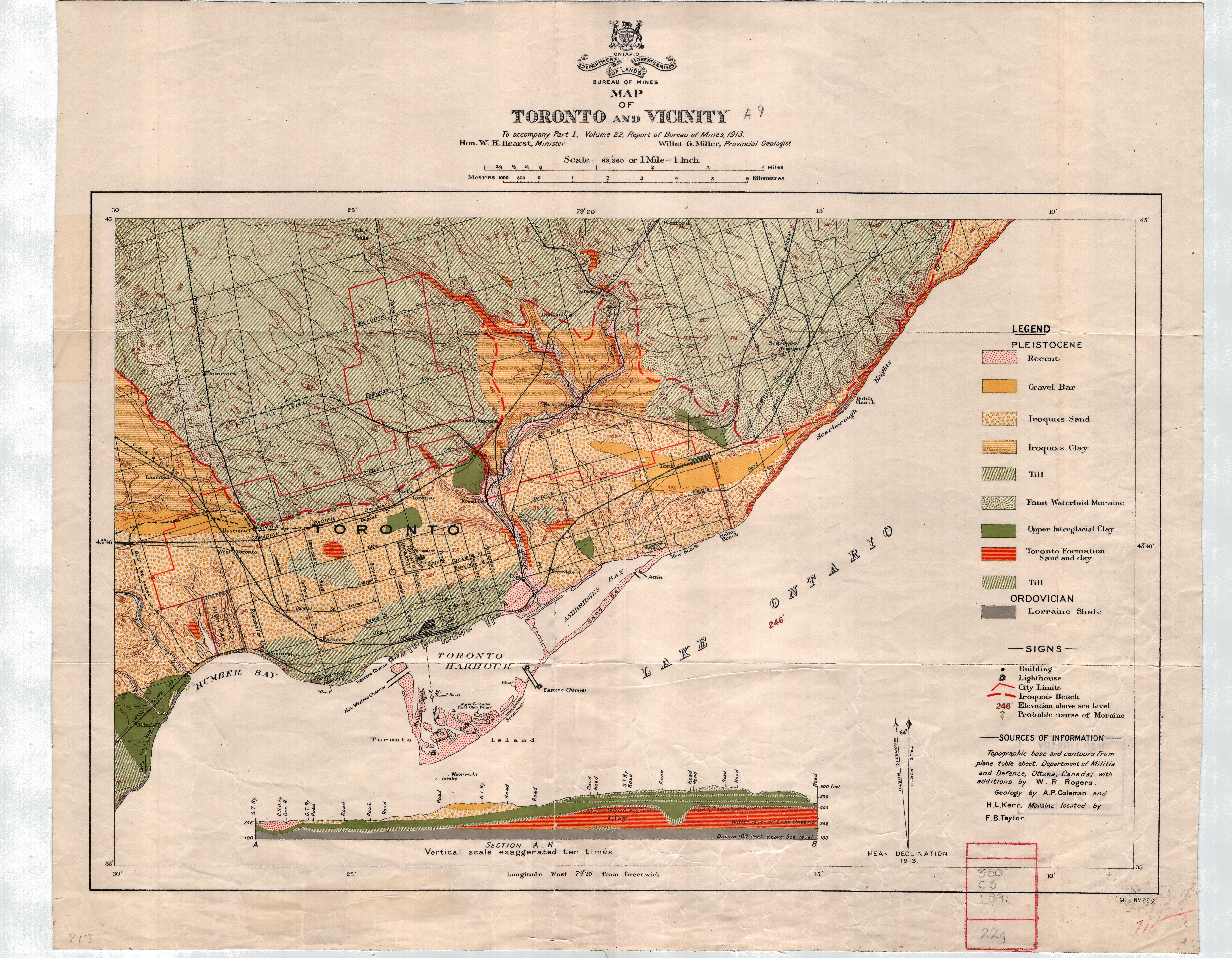
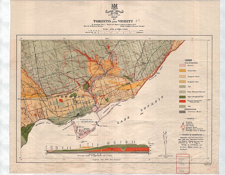
| Author | Department of Lands, Forests and Mines: Bureau of Mines; Hearst, W.H. & Miller, Willet G | |||
| Permission (Reusing this file) |
|

File history
Click on a date/time to view the file as it appeared at that time.
| Date/Time | Thumbnail | Dimensions | User | Comment | |
|---|---|---|---|---|---|
| current | 11:28, 18 December 2015 | | 6,602 × 5,136 (6.81 MB) | Geo Swan (talk | contribs) | {{Information |Description= *{{original caption|Title: Toronto and vicinity <p>Author: Department of Lands, Forests and Mines: Bureau of Mines; Hearst, W.H. & Miller, Willet G. <p>Year: 1913 <p>Location: University of Toronto Libraries <p>Call Number... |
You cannot overwrite this file.
File usage on Commons
The following page uses this file: