File:Map of Wisconsin highlighting Oneida County.svg

Size of this PNG preview of this SVG file: 560 × 600 pixels. Other resolutions: 224 × 240 pixels | 448 × 480 pixels | 717 × 768 pixels | 956 × 1,024 pixels | 1,912 × 2,048 pixels | 1,055 × 1,130 pixels.
Original file (SVG file, nominally 1,055 × 1,130 pixels, file size: 70 KB)
Captions
Captions
Add a one-line explanation of what this file represents
Summary
edit
| Description |
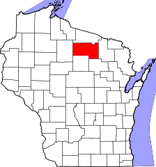
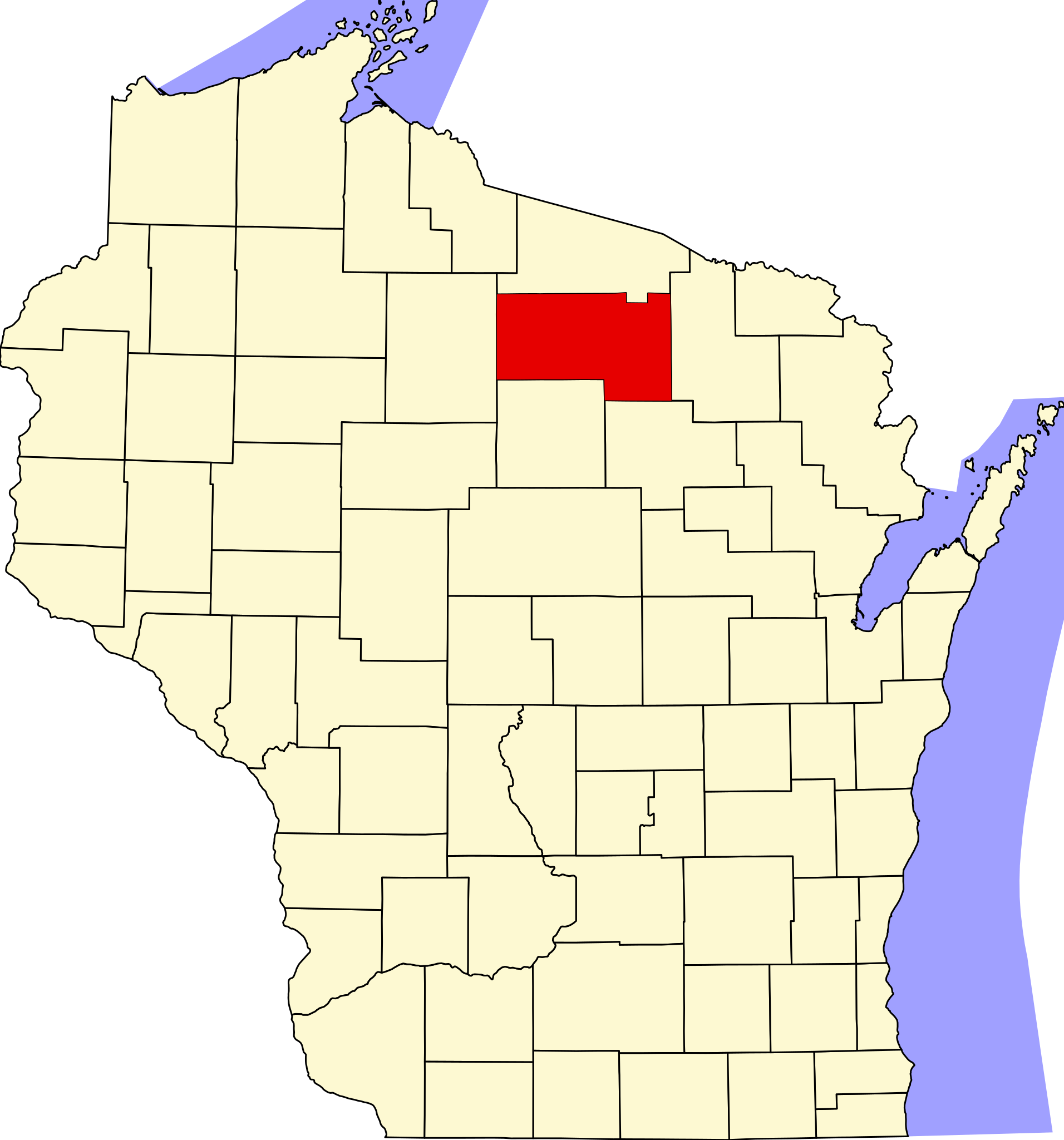
English: This is a locator map showing Oneida County in Wisconsin. For more information, see Commons:United States county locator maps. |
| Date | |
| Source |
Own work: English: The maps use data from nationalatlas.gov, specifically countyp020.tar.gz on the Raw Data Download page. The maps also use state outline data from statesp020.tar.gz. The Florida maps use hydrogm020.tar.gz to display Lake Okeechobee. |
| Author | David Benbennick |
Licensing
edit
| I, the copyright holder of this work, release this work into the public domain. This applies worldwide. In some countries this may not be legally possible; if so: I grant anyone the right to use this work for any purpose, without any conditions, unless such conditions are required by law. |
File history
Click on a date/time to view the file as it appeared at that time.
| Date/Time | Thumbnail | Dimensions | User | Comment | |
|---|---|---|---|---|---|
| current | 10:53, 25 June 2024 | | 1,055 × 1,130 (70 KB) | Nux (talk | contribs) | fix rendering (remove clipping) |
| 15:00, 24 June 2024 |  | 4,747 × 5,087 (103 KB) | Mdann52 (talk | contribs) | Upload new file to correct SVG issue | |
| 00:23, 13 February 2006 |  | 4,747 × 5,087 (103 KB) | David Benbennick (talk | contribs) | {{subst:User:Dbenbenn/clm|county=Oneida County|state=Wisconsin|type=county}} | |
| 18:17, 12 February 2006 |  | 4,747 × 5,087 (103 KB) | David Benbennick (talk | contribs) | {{subst:User:Dbenbenn/clm|county=Oneida County|state=Wisconsin|type=county}} |
You cannot overwrite this file.
File usage on Commons
The following 7 pages use this file:
- Category:Births in Oneida County, Wisconsin
- Category:Deaths in Oneida County, Wisconsin
- Category:Geography of Oneida County, Wisconsin
- Category:Oneida County, Wisconsin
- Category:People of Oneida County, Wisconsin
- Category:Populated places in Oneida County, Wisconsin
- Category:Transport in Oneida County, Wisconsin
File usage on other wikis
The following other wikis use this file:
- Usage on ar.wikipedia.org
- كاسيان (ويسكونسن)
- كريسنت (ويسكونسن)
- إنتربرايز (ويسكونسن)
- هازيلهورست (ويسكونسن)
- ليك توماهوك (ويسكونسن)
- ليتل رايس (ويسكونسن)
- ليني (ويسكونسن)
- مينوكوا (ويسكونسن)
- مونيكو (ويسكونسن)
- نيوبولد (ويسكونسن)
- نوكوميس (ويسكونسن)
- بيليكان (ويسكونسن)
- بيهل (ويسكونسن)
- باين ليك (ويسكونسن)
- ستشوبك (ويسكونسن)
- ستيلا (ويسكونسن)
- شوغر كامب (ويسكونسن)
- ثري ليكز (ويسكونسن)
- وودبورو (ويسكونسن)
- وودروف (ويسكونسن)
- مقاطعة أونيدا (ويسكونسن)
- رينلاندر
- قالب:مقاطعة أونيدا (ويسكونسن)
- Usage on bg.wikipedia.org
- Usage on bpy.wikipedia.org
- Usage on cdo.wikipedia.org
- Usage on ceb.wikipedia.org
- Usage on ce.wikipedia.org
- Usage on cy.wikipedia.org
- Usage on de.wikipedia.org
- Usage on en.wikipedia.org
- List of counties in Wisconsin
- Oneida County, Wisconsin
- Cassian, Wisconsin
- Crescent, Wisconsin
- Enterprise, Wisconsin
- Hazelhurst, Wisconsin
- Lake Tomahawk, Wisconsin
- Little Rice, Wisconsin
- Lynne, Wisconsin
- Minocqua, Wisconsin
- Monico, Wisconsin
- Newbold, Wisconsin
- Nokomis, Wisconsin
- Pelican, Wisconsin
- Piehl, Wisconsin
- Pine Lake, Wisconsin
View more global usage of this file.