File:Map of the State of North Borneo K 05737 Sabah.tif

Size of this JPG preview of this TIF file: 645 × 599 pixels. Other resolutions: 258 × 240 pixels | 517 × 480 pixels | 827 × 768 pixels | 1,102 × 1,024 pixels | 2,204 × 2,048 pixels | 9,804 × 9,110 pixels.
Original file (9,804 × 9,110 pixels, file size: 255.55 MB, MIME type: image/tiff)
Captions
Captions
Add a one-line explanation of what this file represents
Summary
edit| Warning | The original file is very high-resolution. It might not load properly or could cause your browser to freeze when opened at full size. |
|---|
| Description |
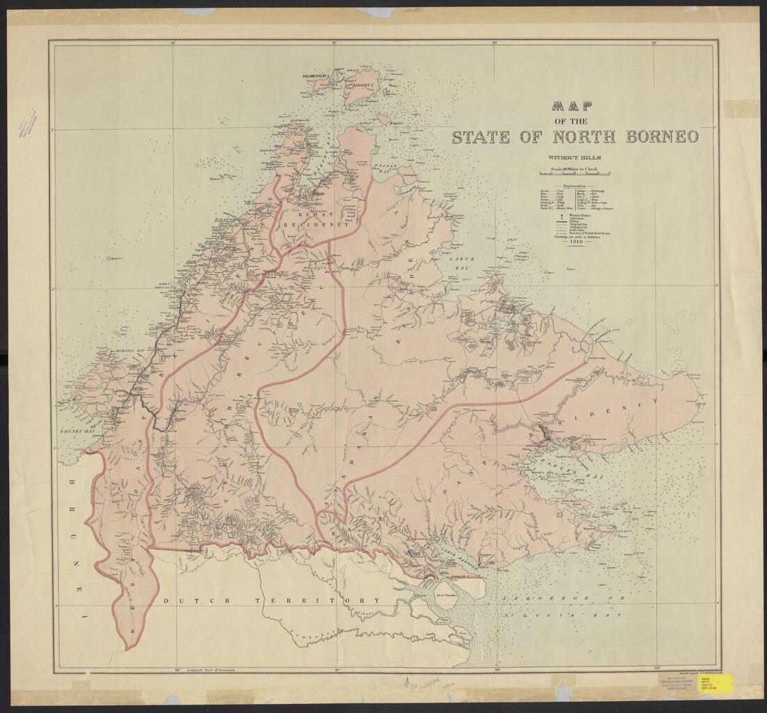
English: Title: Map of the State of North Borneo K 05737 Sabah Shelfmark: K 05737 Sabah Subject (geographic): Kalimantan Utara (province) Language: English Country: Netherlands Published: 1919. Persistent URL: http://hdl.handle.net/1887.1/item:2552523 Published (digital): Leiden University Libraries, Extent: 1 scan. |
| Date | Unknown date |
| Source | http://hdl.handle.net/1887.1/item:2552523 |
| Author | Anonymous |
Licensing
editThis file is licensed under the Creative Commons Attribution 4.0 International license.
- You are free:
- to share – to copy, distribute and transmit the work
- to remix – to adapt the work
- Under the following conditions:
- attribution – You must give appropriate credit, provide a link to the license, and indicate if changes were made. You may do so in any reasonable manner, but not in any way that suggests the licensor endorses you or your use.
File history
Click on a date/time to view the file as it appeared at that time.
| Date/Time | Thumbnail | Dimensions | User | Comment | |
|---|---|---|---|---|---|
| current | 15:55, 8 January 2021 |  | 9,804 × 9,110 (255.55 MB) | Mr.Nostalgic (talk | contribs) | Uploaded a work by {{anonymous}} from http://hdl.handle.net/1887.1/item:2552523 with UploadWizard |
You cannot overwrite this file.
File usage on Commons
There are no pages that use this file.