File:Mapa Capitania Chile.png

Size of this preview: 389 × 599 pixels. Other resolutions: 156 × 240 pixels | 311 × 480 pixels | 498 × 768 pixels | 1,038 × 1,599 pixels.
Original file (1,038 × 1,599 pixels, file size: 470 KB, MIME type: image/png)
Captions
Captions
Add a one-line explanation of what this file represents
Summary
edit
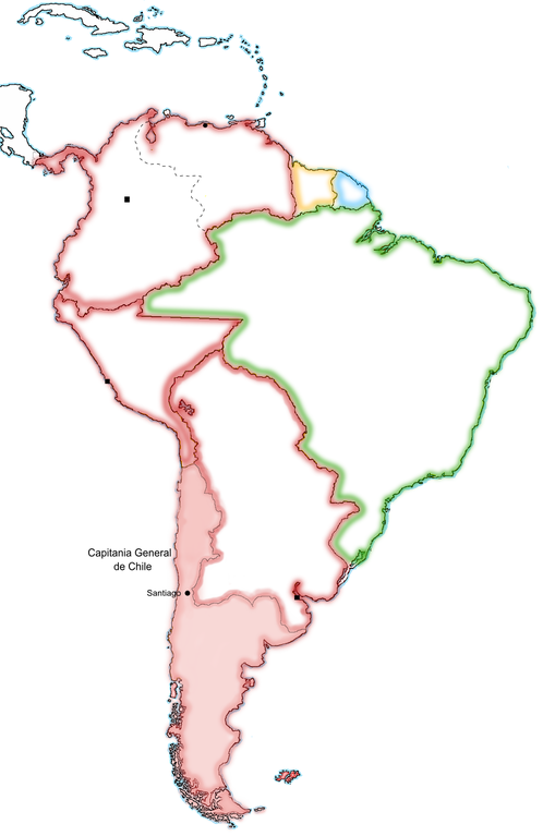
| Description | Mapa de la Capitanía de Chile a finales del siglo XVIII |
| Date | |
| Source | Own work |
| Author | Jluisrs |
Licensing
edit
| I, the copyright holder of this work, release this work into the public domain. This applies worldwide. In some countries this may not be legally possible; if so: I grant anyone the right to use this work for any purpose, without any conditions, unless such conditions are required by law. |
File history
Click on a date/time to view the file as it appeared at that time.
| Date/Time | Thumbnail | Dimensions | User | Comment | |
|---|---|---|---|---|---|
| current | 02:09, 1 December 2022 | | 1,038 × 1,599 (470 KB) | Janitoalevic (talk | contribs) | Coloreo interior, segrego Cuyo |
| 22:10, 12 November 2022 |  | 1,038 × 1,599 (467 KB) | Janitoalevic (talk | contribs) | . | |
| 14:38, 19 April 2009 |  | 1,038 × 1,599 (466 KB) | Jluisrs (talk | contribs) | corregidos errores fronteras, rotulado | |
| 21:08, 22 April 2007 |  | 760 × 1,014 (60 KB) | Jluisrs (talk | contribs) | {{Information |Description= Mapa de la Capitanía de Chile a finales del siglo XVIII |Source=self-made |Date= 22-04-2007 |Author= User:Jluisrs }} |
You cannot overwrite this file.
File usage on Commons
There are no pages that use this file.
File usage on other wikis
The following other wikis use this file:
- Usage on sh.wikipedia.org