File:Mapa loc Antártica.svg

Original file (SVG file, nominally 400 × 600 pixels, file size: 1.22 MB)
Captions
Captions
| Description |
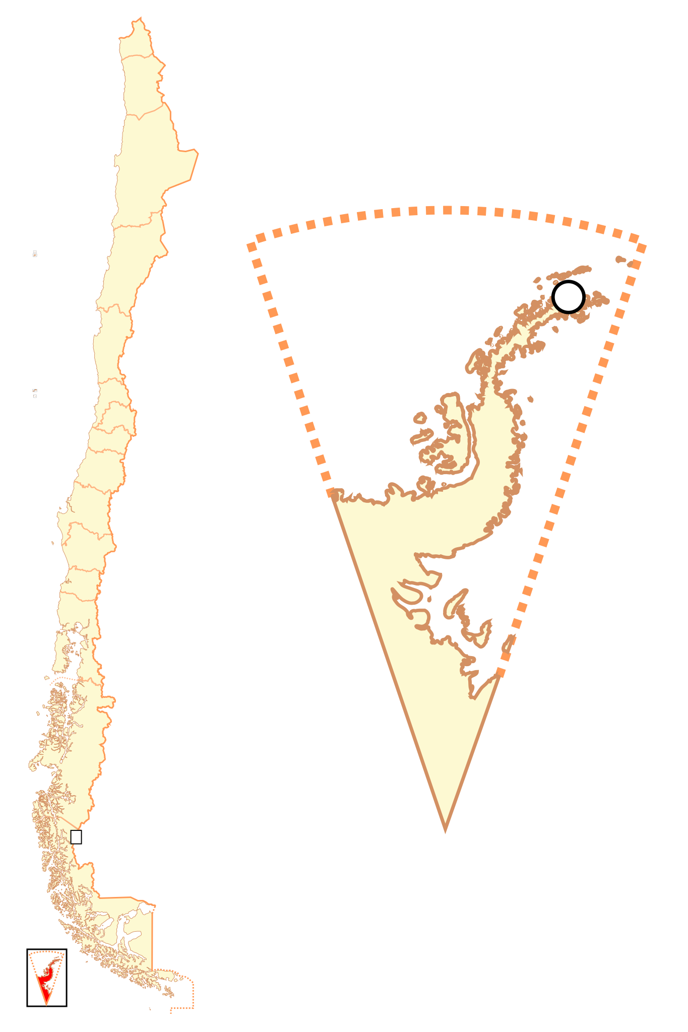
Español: Mapa localizador del Territorio Chileno Antártico |
| Date | |
| Source | Own work |
| Author | B1mbo |
| Permission (Reusing this file) |
I, the copyright holder of this work, hereby publish it under the following license: This file is licensed under the Creative Commons Attribution-Share Alike 2.5 Generic license.
|
| Legal disclaimer
The edition and circulation of maps, geographic charts and other documents about the boundaries and frontiers of Chile, don't have any relation with the Republic of Chile, according to the Article 2 g) of DFL Nº83 of 1979 of the Ministery of Foreign Affairs. La edición y circulación de mapas, cartas geográficas y otros documentos sobre los límites y fronteras de Chile no tienen relación alguna con la República de Chile de acuerdo al artículo 2 g) del DFL Nº83 de 1979 del Ministerio de Relaciones Exteriores. |
File history
Click on a date/time to view the file as it appeared at that time.
| Date/Time | Thumbnail | Dimensions | User | Comment | |
|---|---|---|---|---|---|
| current | 01:52, 19 December 2017 | | 400 × 600 (1.22 MB) | Janitoalevic (talk | contribs) | More specific coastline |
| 15:10, 1 March 2009 |  | 400 × 600 (1,022 KB) | B1mbo (talk | contribs) | Puerto Covadonga corrected | |
| 03:49, 13 November 2007 |  | 400 × 600 (1,021 KB) | B1mbo (talk | contribs) | {{Information |Description= {{es|Mapa localizador del Territorio Chileno Antártico}} |Source=own work |Date=12 de noviembre, 2007 |Author=B1mbo |Permission={{self|cc-by-sa-2.5}} |other_versions= }} {{U |
You cannot overwrite this file.
File usage on Commons
The following page uses this file:
File usage on other wikis
The following other wikis use this file:
- Usage on az.wikipedia.org
- Usage on es.wikipedia.org
- Usage on fa.wikipedia.org
- Usage on mk.wikipedia.org
- Usage on rm.wikipedia.org
- Usage on simple.wikipedia.org
- Usage on zh.wikipedia.org