File:Marintek IMG 4646.JPG
Size of this preview: 800 × 501 pixels. Other resolutions: 320 × 200 pixels | 640 × 401 pixels | 1,024 × 641 pixels | 1,280 × 802 pixels | 2,560 × 1,603 pixels | 4,000 × 2,505 pixels.
Original file (4,000 × 2,505 pixels, file size: 2.03 MB, MIME type: image/jpeg)
Captions
Captions
Add a one-line explanation of what this file represents
Summary
edit
| Description |
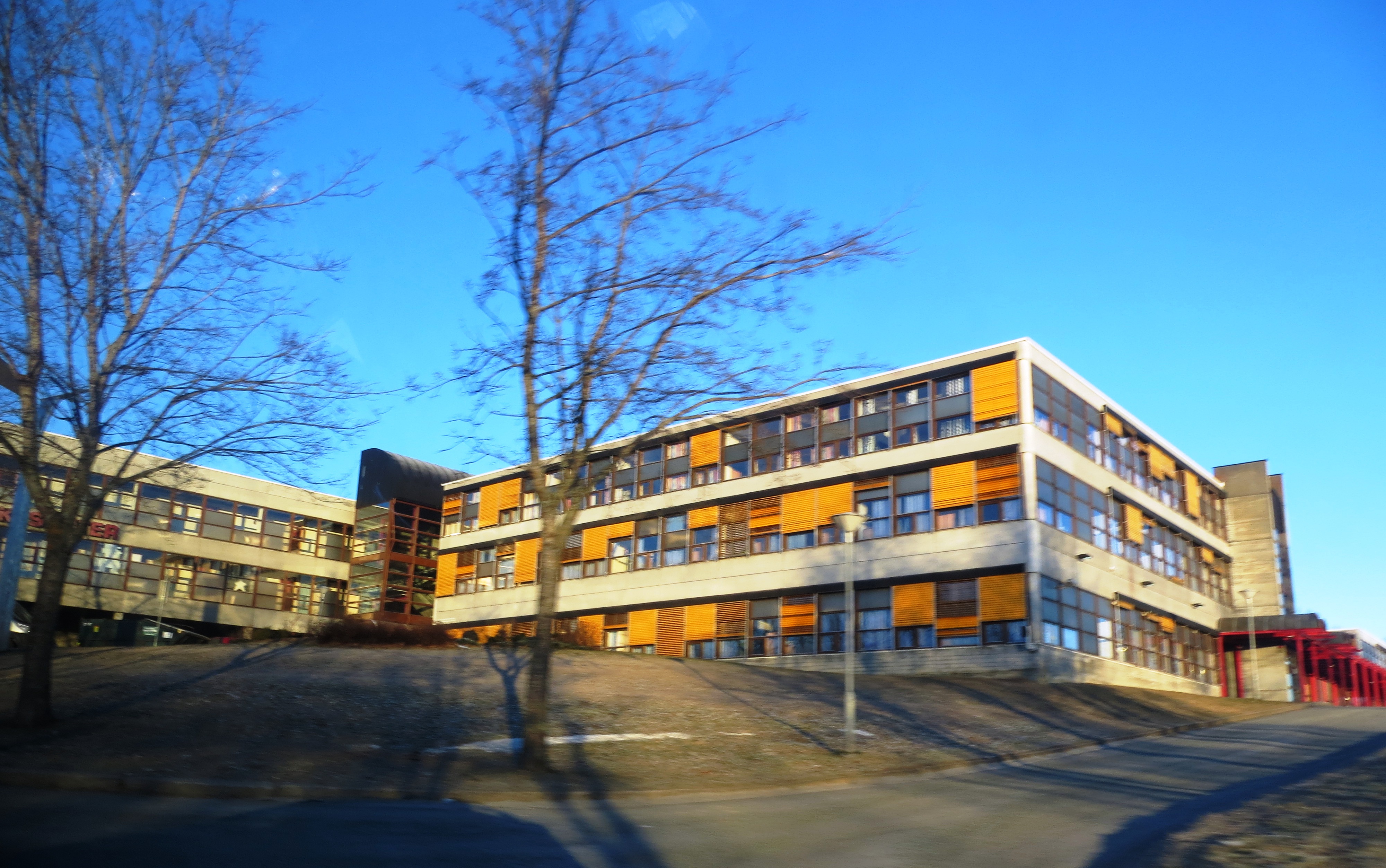
English: Marintek at Tyholt, trondheim (Norway). This maritime research institute is jointly owned by Sintef, Norwegian Shipowners, and minor interests. Marintek is a leading maritime research facility. The first two floors of this building also houses the Maritime Institute of the Norwegian University of Technology and Science (NTNU). The campus is named "NTNU Tyholt", or simply "Marin". |
| Date | |
| Source | Own work |
| Author | Bjoertvedt |
| Camera location | | View this and other nearby images on: OpenStreetMap |
|---|
Licensing
edit
I, the copyright holder of this work, hereby publish it under the following license:
This file is licensed under the Creative Commons Attribution-Share Alike 3.0 Unported license.
- You are free:
- to share – to copy, distribute and transmit the work
- to remix – to adapt the work
- Under the following conditions:
- attribution – You must give appropriate credit, provide a link to the license, and indicate if changes were made. You may do so in any reasonable manner, but not in any way that suggests the licensor endorses you or your use.
- share alike – If you remix, transform, or build upon the material, you must distribute your contributions under the same or compatible license as the original.
File history
Click on a date/time to view the file as it appeared at that time.
| Date/Time | Thumbnail | Dimensions | User | Comment | |
|---|---|---|---|---|---|
| current | 12:36, 27 January 2013 | | 4,000 × 2,505 (2.03 MB) | Bjoertvedt (talk | contribs) | User created page with UploadWizard |
You cannot overwrite this file.
File usage on Commons
There are no pages that use this file.
File usage on other wikis
The following other wikis use this file: