File:Moscow RaushskayaEmbankment14 K01b.jpg

Size of this preview: 800 × 506 pixels. Other resolutions: 320 × 202 pixels | 640 × 405 pixels | 1,024 × 648 pixels | 1,280 × 810 pixels | 2,560 × 1,620 pixels | 3,852 × 2,437 pixels.
Original file (3,852 × 2,437 pixels, file size: 7.16 MB, MIME type: image/jpeg)
Captions
Captions
Add a one-line explanation of what this file represents
Summary edit
| Description |
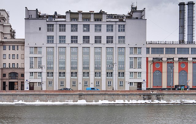
Русский: Административный корпус: Раушская наб., дом 14, Замоскворечье, Центральный округ, Москва
English: Office building of Raushskaya Power Station, Raushskaya Embankment 14, Moscow
|
||||
| Date | |||||
| Source | Own work | ||||
| Author | Ludvig14 |
| Camera location | | View this and other nearby images on: OpenStreetMap |
|---|
Licensing edit
I, the copyright holder of this work, hereby publish it under the following license:
This file is licensed under the Creative Commons Attribution-Share Alike 4.0 International license.
- You are free:
- to share – to copy, distribute and transmit the work
- to remix – to adapt the work
- Under the following conditions:
- attribution – You must give appropriate credit, provide a link to the license, and indicate if changes were made. You may do so in any reasonable manner, but not in any way that suggests the licensor endorses you or your use.
- share alike – If you remix, transform, or build upon the material, you must distribute your contributions under the same or compatible license as the original.
File history
Click on a date/time to view the file as it appeared at that time.
| Date/Time | Thumbnail | Dimensions | User | Comment | |
|---|---|---|---|---|---|
| current | 17:51, 10 March 2017 | | 3,852 × 2,437 (7.16 MB) | Ludvig14 (talk | contribs) | User created page with UploadWizard |
You cannot overwrite this file.
File usage on Commons
The following 2 pages use this file:
File usage on other wikis
The following other wikis use this file:
- Usage on ru.wikivoyage.org
- Usage on www.wikidata.org