File:O camiño de Santiago pola Terra Cha. Gontán - Vilalba.jpg

Size of this preview: 800 × 535 pixels. Other resolutions: 320 × 214 pixels | 640 × 428 pixels | 1,024 × 685 pixels | 1,280 × 856 pixels | 2,560 × 1,712 pixels.
Original file (2,560 × 1,712 pixels, file size: 2.87 MB, MIME type: image/jpeg)
Captions
Captions
Add a one-line explanation of what this file represents
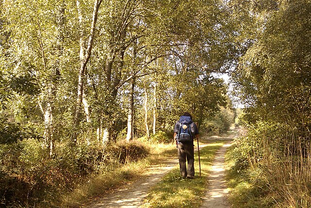
| Description | O camiño de Santiago pola Terra Cha. Gontán - Vilalba | ||
| Date | |||
| Source | originally posted to Flickr as Etapa 27. Gontán - Vilalba | ||
| Author | José Antonio Gil Martínez | ||
| Permission (Reusing this file) |
This file is licensed under the Creative Commons Attribution 2.0 Generic license.
|
| Camera location | | View this and other nearby images on: OpenStreetMap |
|---|
File history
Click on a date/time to view the file as it appeared at that time.
| Date/Time | Thumbnail | Dimensions | User | Comment | |
|---|---|---|---|---|---|
| current | 22:23, 22 December 2009 | | 2,560 × 1,712 (2.87 MB) | Flickr upload bot (talk | contribs) | Uploaded from http://flickr.com/photo/17364971@N00/3906742796 using Flickr upload bot |
You cannot overwrite this file.
File usage on Commons
There are no pages that use this file.
File usage on other wikis
The following other wikis use this file: