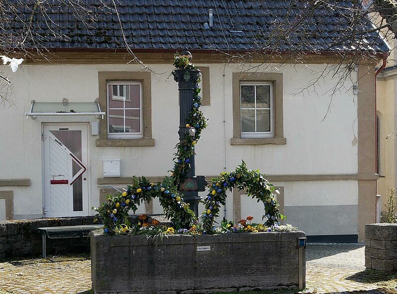
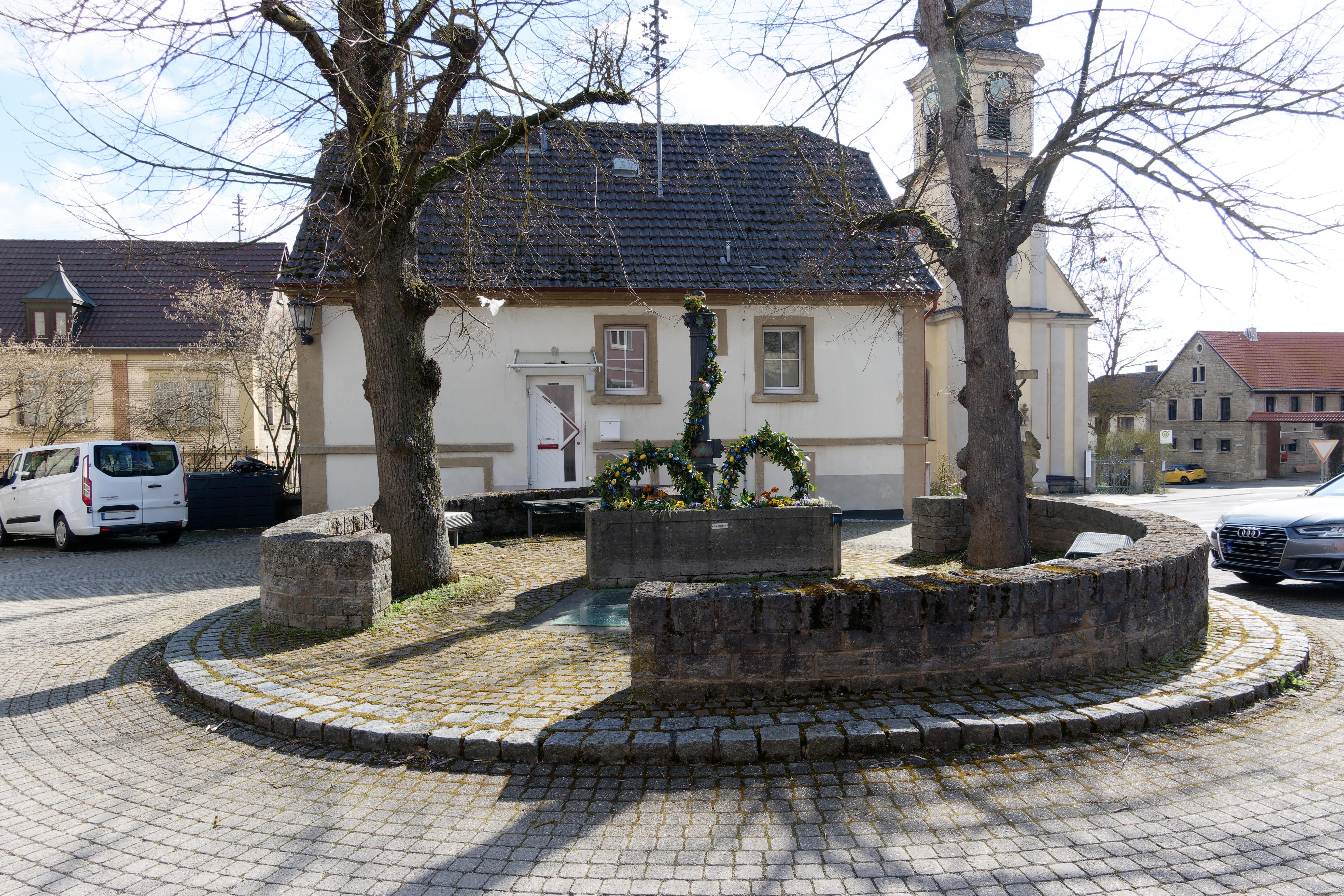
File:Osterbrunnen 2022 in Unterwittighausen.jpg

Size of this preview: 800 × 593 pixels. Other resolutions: 320 × 237 pixels | 640 × 474 pixels | 1,024 × 759 pixels | 1,280 × 949 pixels | 1,925 × 1,427 pixels.
Original file (1,925 × 1,427 pixels, file size: 436 KB, MIME type: image/jpeg)
Captions
Captions
Add a one-line explanation of what this file represents
Summary
edit| Description | |
| Date | 10 April 2022, 17:58:54 (original upload date) |
| Source | overview - direct - dataset |
| Author | Stefan Gerl |
| Permission (Reusing this file) |
Creative Commons Zero (CC0) |
| Other versions | |
| ID | 600795 |
| Category | 1825 |

| Object location | | View this and other nearby images on: OpenStreetMap |
|---|
This media file was collected by Landauf, LandApp under the ID 600795. This tag does not indicate the copyright status of the attached work. A normal copyright tag is still required. See Commons:Licensing. |
Licensing
edit
| This file is made available under the Creative Commons CC0 1.0 Universal Public Domain Dedication. | |
| The person who associated a work with this deed has dedicated the work to the public domain by waiving all of their rights to the work worldwide under copyright law, including all related and neighboring rights, to the extent allowed by law. You can copy, modify, distribute and perform the work, even for commercial purposes, all without asking permission.
|
File history
Click on a date/time to view the file as it appeared at that time.
| Date/Time | Thumbnail | Dimensions | User | Comment | |
|---|---|---|---|---|---|
| current | 15:59, 11 May 2023 | | 1,925 × 1,427 (436 KB) | Triplec85 (talk | contribs) | File:Landappbw 600795 1817 Dorfbrunnen Unterwittighausen.jpg cropped 65 % horizontally, 61 % vertically using CropTool with precise mode. |
You cannot overwrite this file.
File usage on Commons
The following 3 pages use this file: