File:Příbram, od Konětop (01).jpg
Size of this preview: 800 × 433 pixels. Other resolutions: 320 × 173 pixels | 640 × 347 pixels | 1,024 × 555 pixels | 1,280 × 693 pixels | 3,264 × 1,768 pixels.
Original file (3,264 × 1,768 pixels, file size: 818 KB, MIME type: image/jpeg)
Captions
Captions
Add a one-line explanation of what this file represents
| Description |
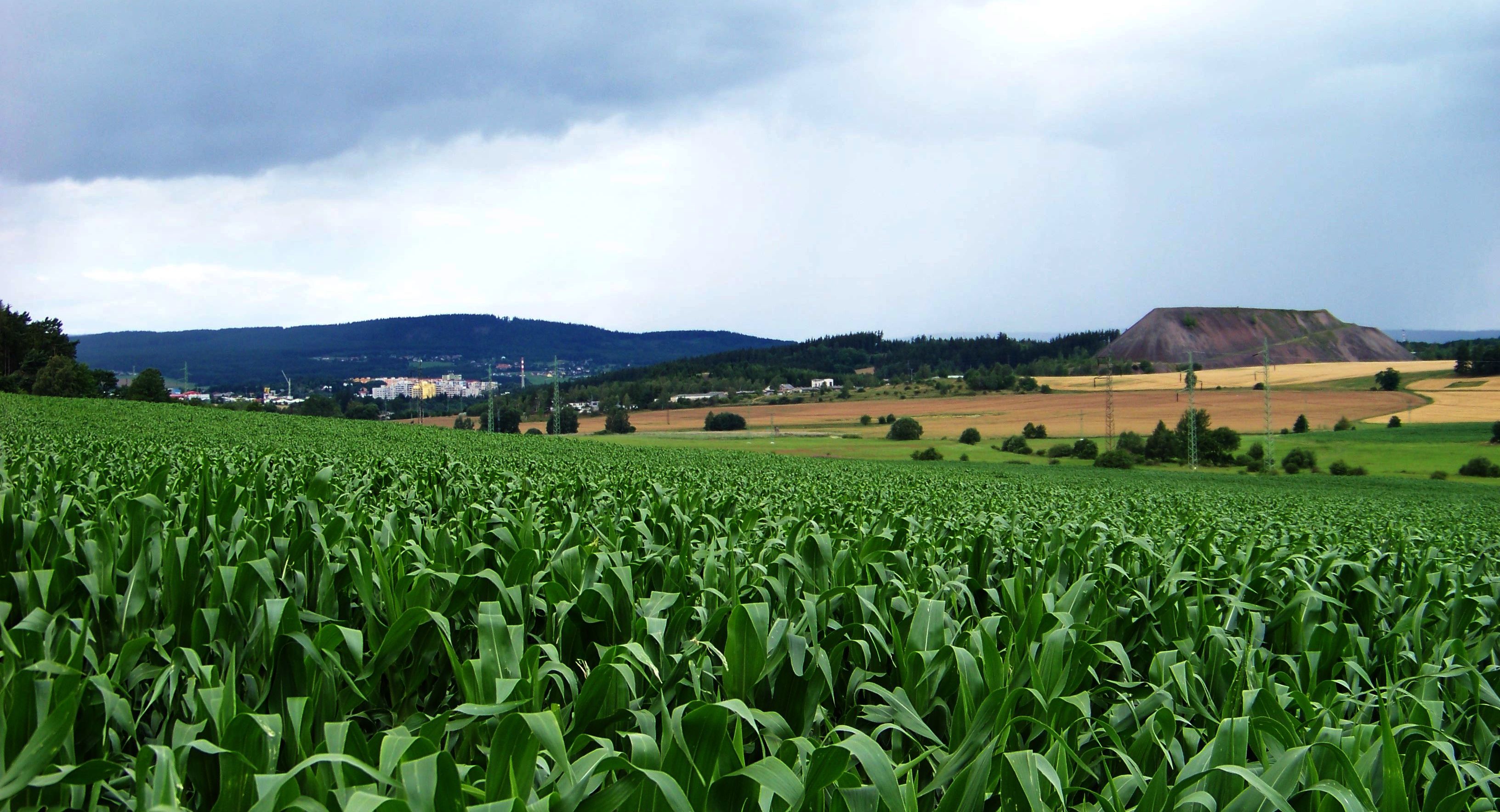
English: Milín-Konětopy, Příbram District, Central Bohemian Region, the Czech Republic. A view of Příbram.
|
||||
| Date | Taken on 12 July 2012 | ||||
| Source | Self-photographed | ||||
| Author | ŠJů (cs:ŠJů) | ||||
| Permission (Reusing this file) |
I, the copyright holder of this work, hereby publish it under the following license: This file is licensed under the Creative Commons Attribution-Share Alike 3.0 Unported license. Attribution: ŠJů, Wikimedia Commons
|
.jpg¶ms=049.653889_N_0014.037250_E_globe:Earth_type:camera_region:CZ_heading:305.00&language=en)
File history
Click on a date/time to view the file as it appeared at that time.
| Date/Time | Thumbnail | Dimensions | User | Comment | |
|---|---|---|---|---|---|
| current | 18:48, 21 July 2012 | | 3,264 × 1,768 (818 KB) | ŠJů (talk | contribs) | {{Information |Description= {{cs|1=cs:Milín-cs:Konětopy (Milín), okres Příbram. Pohled na Příbram, halda v Příbrami-Brodě u šachet 5 a 6.}} {{en|1=en:Milín-en:Konětopy (Milín), [[:en:Příbr... |
You cannot overwrite this file.
File usage on Commons
The following page uses this file:
.jpg&oldid=587256159)