File:Radium Yellowknife and the Algoma Quebecois, 2013 08 12 -b.JPG

Size of this preview: 800 × 600 pixels. Other resolutions: 320 × 240 pixels | 640 × 480 pixels | 1,024 × 768 pixels | 1,280 × 960 pixels | 2,560 × 1,920 pixels | 4,320 × 3,240 pixels.
Original file (4,320 × 3,240 pixels, file size: 4.67 MB, MIME type: image/jpeg)
Captions
Captions
Add a one-line explanation of what this file represents
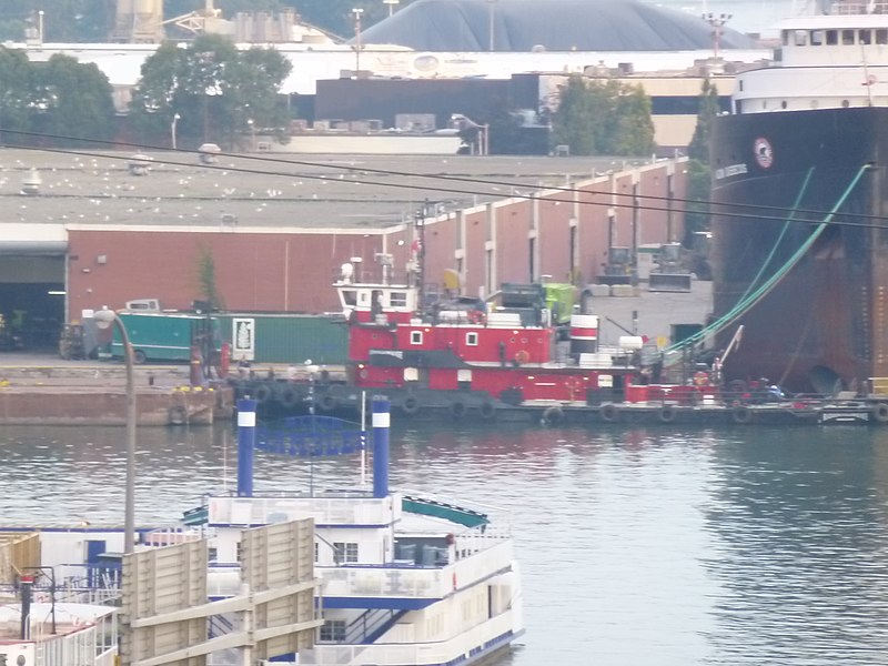
| Description | Radium Yellowknife and the Algoma Quebecois. | ||
| Date | Taken on 12 August 2013 | ||
| Source | Own work | ||
| Author | Geo Swan (talk) | ||
| Permission (Reusing this file) |
|
| Camera location | | View this and other nearby images on: OpenStreetMap |
|---|
File history
Click on a date/time to view the file as it appeared at that time.
| Date/Time | Thumbnail | Dimensions | User | Comment | |
|---|---|---|---|---|---|
| current | 03:01, 13 August 2013 | | 4,320 × 3,240 (4.67 MB) | Geo Swan (talk | contribs) | {{Information | Description = Radium Yellowknife and the Algoma Quebecois. | Source = {{own}} | Date = 2013-08-12 | Author = ~~~ | Permission = {{PD-Self}} }} {{GPS EXIF}} Category:2013 in Toronto [[Category:Radium Yellowknife (s... |
You cannot overwrite this file.
File usage on Commons
The following page uses this file: