File:ReynoldsRoad.jpg
![File:ReynoldsRoad.jpg](https://upload.wikimedia.org/wikipedia/commons/thumb/9/9b/ReynoldsRoad.jpg/800px-ReynoldsRoad.jpg?20120816002250)
Size of this preview: 800 × 600 pixels. Other resolutions: 320 × 240 pixels | 640 × 480 pixels | 1,024 × 768 pixels | 1,280 × 960 pixels | 2,560 × 1,920 pixels | 4,608 × 3,456 pixels.
Original file (4,608 × 3,456 pixels, file size: 4.62 MB, MIME type: image/jpeg)
File information
Structured data
Captions
Captions
Add a one-line explanation of what this file represents
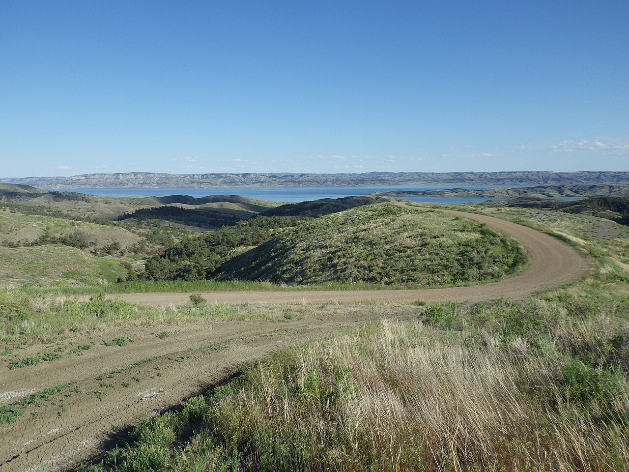
DescriptionReynoldsRoad.jpg | Reynolds Road heading south to Fourchette Bay and Fourchette Creek Recreation Area. This section of road (on lands administered by the BLM and USFWS) bisects sagebrush steppe with essentially 100% native plant cover. Taken in Phillips County, Montana | ||
Date | |||
Source | Flickr: Reynolds Road | ||
Author | Matt Lavin | ||
Permission (Reusing this file) |
![]() ![]() ![]() This file is licensed under the Creative Commons Attribution-Share Alike 2.0 Generic license.
|
Camera location | 47° 41′ 51.47″ N, 107° 40′ 34.27″ W ![]() | View this and other nearby images on: OpenStreetMap | ![]() |
---|
File history
Click on a date/time to view the file as it appeared at that time.
Date/Time | Thumbnail | Dimensions | User | Comment | |
---|---|---|---|---|---|
current | 00:22, 16 August 2012 | ![]() | 4,608 × 3,456 (4.62 MB) | Flickr upload bot (talk | contribs) | Uploaded from http://flickr.com/photo/35478170@N08/7509849586 using Flickr upload bot |
You cannot overwrite this file.
File usage on Commons
The following page uses this file:
- File:Reynolds Road (7509849586).jpg (file redirect)
Metadata
This file contains additional information such as Exif metadata which may have been added by the digital camera, scanner, or software program used to create or digitize it. If the file has been modified from its original state, some details such as the timestamp may not fully reflect those of the original file. The timestamp is only as accurate as the clock in the camera, and it may be completely wrong.
Image title |
|
---|---|
Camera manufacturer | PENTAX |
Camera model | PENTAX Optio WG-2 GPS |
Exposure time | 1/800 sec (0.00125) |
F-number | f/4.2 |
ISO speed rating | 125 |
Date and time of data generation | 17:24, 12 June 2012 |
Lens focal length | 5 mm |
Latitude | 47° 41′ 51.47″ N |
Longitude | 107° 40′ 34.27″ W |
Short title |
|
City shown | Charles M Russell National Wildlife Refuge |
Orientation | Normal |
Horizontal resolution | 72 dpi |
Vertical resolution | 72 dpi |
Software used | Microsoft Pro Photo Tools |
File change date and time | 17:24, 12 June 2012 |
Y and C positioning | Co-sited |
Exif version | 2.3 |
Date and time of digitizing | 17:24, 12 June 2012 |
Meaning of each component |
|
APEX exposure bias | 0 |
Metering mode | Pattern |
Flash | Flash did not fire, compulsory flash suppression |
Supported Flashpix version | 1 |
Color space | sRGB |
Custom image processing | Normal process |
Exposure mode | Auto exposure |
White balance | Auto white balance |
Digital zoom ratio | 1 |
Focal length in 35 mm film | 28 mm |
Scene capture type | Standard |
Contrast | Normal |
Saturation | Normal |
Sharpness | Normal |
Subject distance range | Distant view |
Receiver status | Measurement interoperability |
GPS tag version | 2.3.0.0 |
Keywords |
|
Province or state shown | Montana |