File:Ribe Å set mod nord fra Frislusen. Rosenhaven og haverne bag Sortebrødregade på højre hånd.jpg

Size of this preview: 800 × 521 pixels. Other resolutions: 320 × 208 pixels | 640 × 416 pixels | 1,024 × 666 pixels | 1,280 × 833 pixels | 2,560 × 1,666 pixels | 3,880 × 2,525 pixels.
Original file (3,880 × 2,525 pixels, file size: 7.08 MB, MIME type: image/jpeg)
Captions
Captions
Add a one-line explanation of what this file represents
Summary edit
| Description |
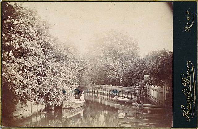
Dansk: Ribe Å set mod nord fra Frislusen. Rosenhaven og haverne bag Sortebrødregade på højre hånd. |
| Date | |
| Source | Sydvestjyske Museers digitale fotoarkiv |
| Author | Harald Bruun |
| Camera location | | View this and other nearby images on: OpenStreetMap |
|---|
Licensing edit
|
This work is in the public domain in its country of origin and other countries and areas where the copyright term is the author's life plus 70 years or fewer. This work is in the public domain in the United States because it was published (or registered with the U.S. Copyright Office) before January 1, 1929. | |
| This file has been identified as being free of known restrictions under copyright law, including all related and neighboring rights. | |
File history
Click on a date/time to view the file as it appeared at that time.
| Date/Time | Thumbnail | Dimensions | User | Comment | |
|---|---|---|---|---|---|
| current | 19:29, 14 January 2023 | | 3,880 × 2,525 (7.08 MB) | Tdn70 (talk | contribs) | Uploaded a work by Harald Bruun from Sydvestjyske Museers digitale fotoarkiv with UploadWizard |
You cannot overwrite this file.
File usage on Commons
The following page uses this file: